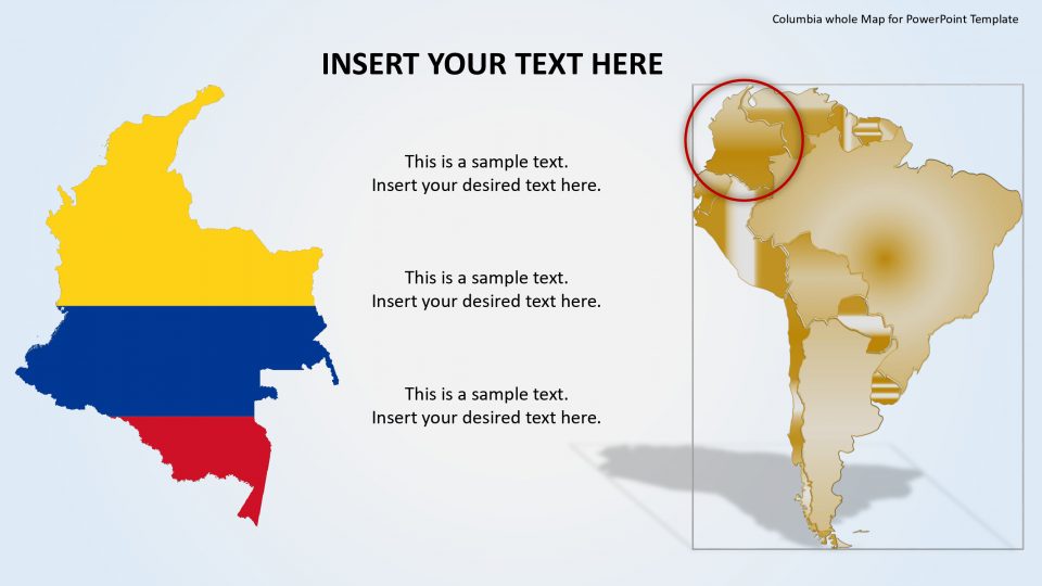
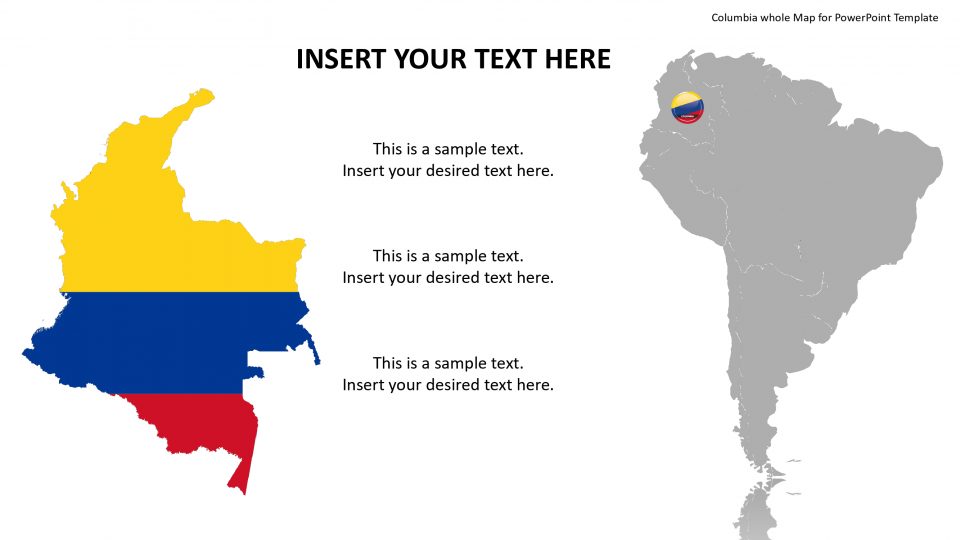
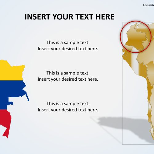
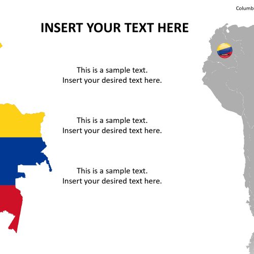
The Columbia editable Maps for PowerPoint is a presentation containing political and outlined representations of the Republic of Columbia. Columbia ppt template shape and color is constructed of independent PowerPoint presentation object which enables the user to manipulate and change each piece individually and build different slides with partial shapes and size. The user can customize the colors and backgrounds of the states with an additional feature of location markers. Also, one can drag and adjust maps for the individual country from the master map via drag and drop option and customize the given sample map layouts if needed.
The map template of Colombia, which is officially called the Republic of Colombia, is a sovereign state situated in the northwest of South America and with territories in Central America. It is surrounded by five bordering countries that include Peru, Brazil, Panama, Venezuela, and Ecuador. Colombia is a country of large rainforests, huge mountains and coffee plantations.
Features:
- Completely editable in terms of shape, color, size and text
- This template has a built in color theme which is unaffected by copy-pasting
- Includes an icon family with 135 unique completely editable icons
- Drag and drop image placeholder
- Completely editable (using spreadsheet) data-driven charts for displaying statistics
- Completely editable vector graphics
Supports
Microsoft PowerPoint 2010, 2011, 2013, 2016
MacOffice 2016, MacOffice 365


Be the first to review “Columbia whole Map for PowerPoint Template”