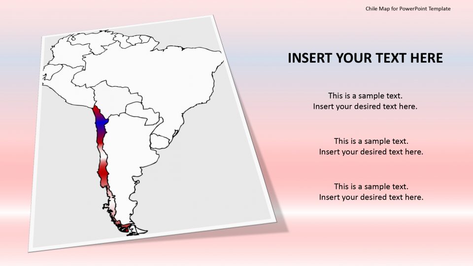
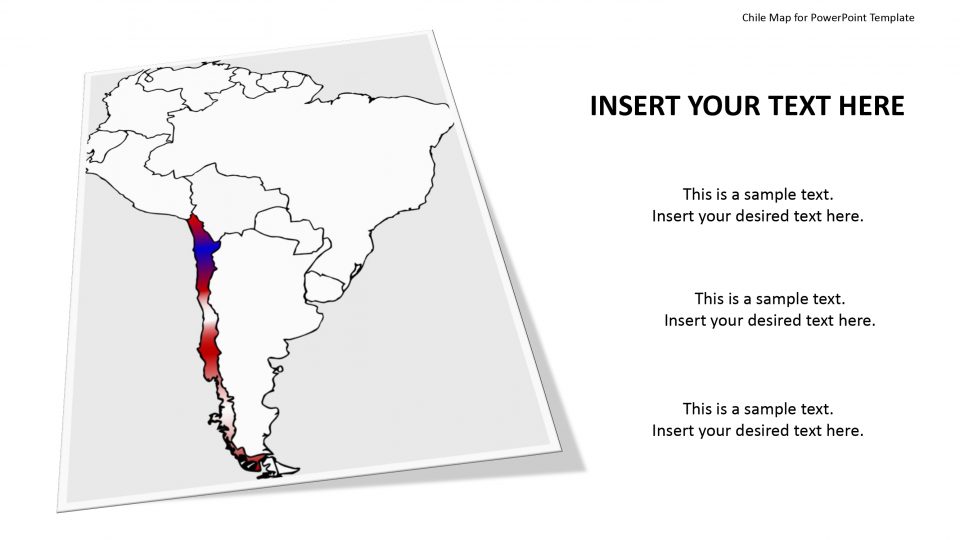
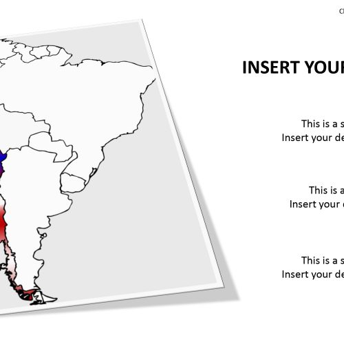
Slidevilla’s PowerPoint templates for Chile map provides the presentations which contain Chile flag representations with a highlighting shape for magnifying or zooming in specific states and using different text boxes to add to the layout. Using these features one can enable the homogeneous context during a speech or lecture. One can also locate specific spots using icons that are provided. For example, one can refer to Santiago, Chile’s capital. The icons that can be used are pin,flags,star,etc.
Chile map contains the information about the country that it is the longest country in the world with three bordering countries named Peru, Argentina, and Bolivia. The map consists of vary clear layer of the border separating the surroundings. This design layout of Chile map allows the users to include a brief history, data or relevant facts related to the geographical and physical representation effectively. This goes with the rest of the Google slides map.
Features:
- Completely editable in terms of shape, color, size and text
- This template has a built in color theme which is unaffected by copy-pasting
- Includes an icon family with 135 unique completely editable icons
- Drag and drop image placeholder
- Completely editable (using spreadsheet) data-driven charts for displaying statistics
- Completely editable vector graphics
Supports
Microsoft PowerPoint 2010, 2011, 2013, 2016
MacOffice 2016, MacOffice 365



Be the first to review “Chile Map for PowerPoint Template”