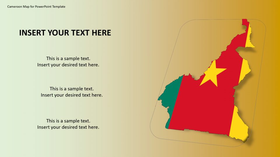
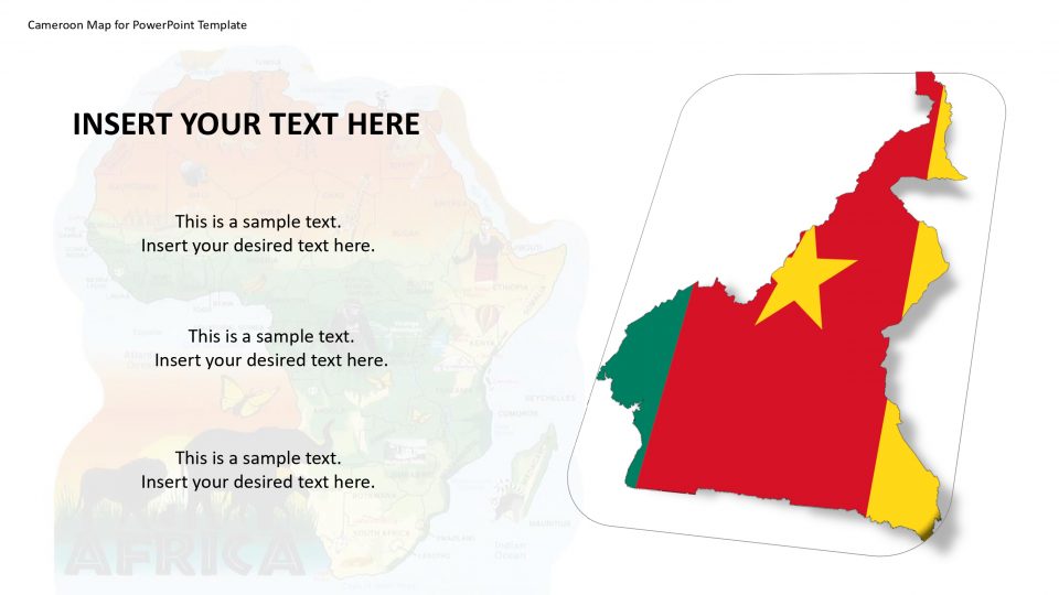
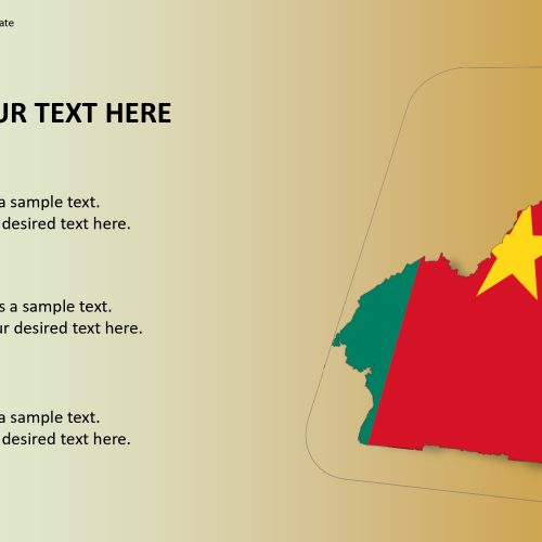
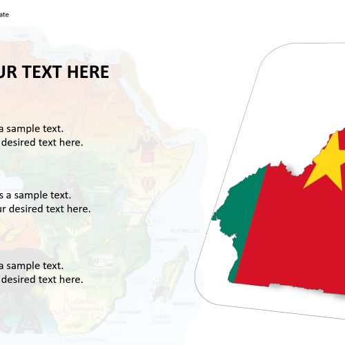
The Cameroon map for PowerPoint template is a central African country. It is bordered by countries which are Nigeria, Central African Republic, Equatorial Guinea, Chad, Gabon and the Republic of the Congo. The PowerPoint template is useful for labeling regions, cities, and important locations in PowerPoint presentations. This looks like a custom map to display national capital Yaounde and other regional divisions.
These graphics that are available are easy to edit and customize in PowerPoint presentation and give assistance to students and professionals to communicate their ideas in a unique way. The graphics are in the high-resolution aspect that gives the presentation an additive feature and also GPS markers are available. Because of the graphics of the map the presentation will appeal the audience.
Features:
- Completely editable in terms of shape, color, size and text
- This template has a built in color theme which is unaffected by copy-pasting
- Includes an icon family with 135 unique completely editable icons
- Drag and drop image placeholder
- Completely editable (using spreadsheet) data-driven charts for displaying statistics
- Completely editable vector graphics
Supports
Microsoft PowerPoint 2010, 2011, 2013, 2016
MacOffice 2016, MacOffice 365


Be the first to review “Cameroon Map for PowerPoint Template”