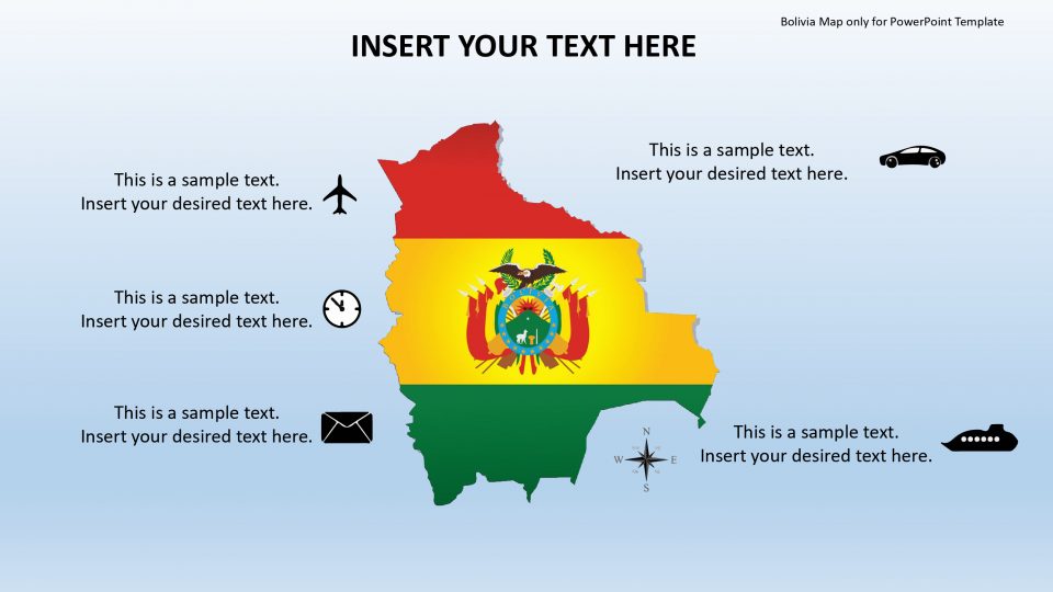
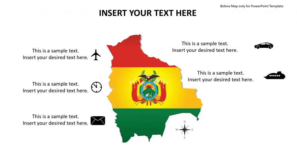
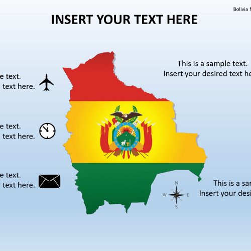
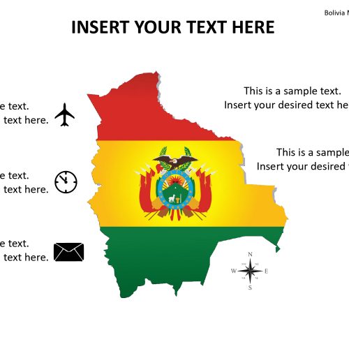
The Bolivia map which is officially called the Plurinational State of Bolivia is a sovereign country situated in western-central South America. Bolivia is neighbored by Brazil, Argentina, Peru, Chile, and Paraguay. Using this PowerPoint template one can explore Bolivia’s tradition, culture, history, economy, religion, people, industries, tourism, and much more.
The Bolivia PowerPoint Map also provides the helpful google slides of an editable and customizable map. These slides highlight and point out the important areas and factors of the country. Furthermore, one of the slide of Bolivia presents a map with the name of each county and its surrounding countries. This template can make it easier for users to discover the specific location and put the presentation on a great platform.
Features:
- Completely editable in terms of shape, color, size and text
- This template has a built in color theme which is unaffected by copy-pasting
- Includes an icon family with 135 unique completely editable icons
- Drag and drop image placeholder
- Completely editable (using spreadsheet) data-driven charts for displaying statistics
- Completely editable vector graphics
Supports
Microsoft PowerPoint 2010, 2011, 2013, 2016
MacOffice 2016, MacOffice 365


Be the first to review “Bolivia Map only for PowerPoint Template”