


**Introducing the Italy Map Geography PowerPoint Presentation**
Embark on a captivating journey through Italy with our meticulously designed Italy Map Geography PowerPoint Presentation. This comprehensive and engaging template is an essential tool for educators, business professionals, travelers, and anyone interested in exploring the rich geographical tapestry of Italy. Whether you’re diving into a history lesson, analyzing regional economic data, or planning your next Italian adventure, this presentation will serve as your ultimate guide.
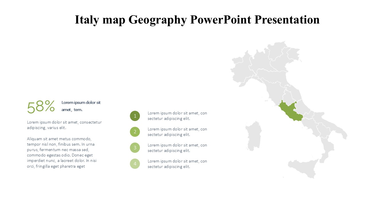
**Visual Appeal and Educational Value**
Our Italy Map PowerPoint slides are crafted with precision, offering high-quality maps that highlight Italy’s diverse regions, major cities, landmarks, and geographical features. The vibrant colors and clear demarcation of boundaries ensure that each segment is easily identifiable, enhancing both the aesthetic appeal and the educational value of your presentation.
**Versatility and Adaptability**
This presentation is not just a visual treat but also a versatile tool designed to suit a variety of needs. It includes slides that cover Italy’s political divisions, showcasing regions and provinces, key demographic insights, and cultural landmarks. Economic maps highlight significant business hubs and economic zones, making it an invaluable resource for market analysis and business planning.
**Customization at Your Fingertips**
Understanding that each presentation needs a personal touch, our Italy Map Geography PowerPoint Presentation comes with fully customizable options. Adjust colors, text, and scale to match your specific presentation needs without any loss in quality. Whether you’re presenting to students, colleagues, or potential investors, you can tailor your slides to reflect the theme and tone of your discourse.
**Features of Italy Map Geography PowerPoint Presentation:**
1. **Fully Editable Templates:** Each element of the map can be edited or customized to suit your specific needs. From resizing to recoloring, you can modify it all without any expertise in design.
2. **Supports PowerPoint and Google Slides:** Whether you are a PowerPoint user or prefer Google Slides for your presentations, our templates are compatible with both platforms. This ensures you can present or share your insights on any platform with ease.
3. **High-Resolution Graphics:** All maps come in high resolution, which means they stay sharp and clear even when projected on large screens or printed in larger formats.
4. **User-Friendly Design:** The templates are designed keeping in mind the ease of use. Even users with minimal experience in PowerPoint can easily navigate through the customization process.
5. **Comprehensive Coverage:** From the Alps in the north to the sandy shores of Sicily in the south, the templates cover every geographical aspect of Italy. Special slides dedicated to important cities like Rome, Milan, and Venice are also included.
6. **Multi-Purpose Use:** Ideal for educational purposes, business meetings, travel planning, or cultural presentations. It serves multiple sectors efficiently.
The Italy Map Geography PowerPoint Presentation is more than just a set of slides – it’s a gateway to understanding and presenting Italy’s geographical diversity with precision and clarity. Enhance your presentations and captivate your audience with this unparalleled tool. Whether for education or business, this template is designed to meet your needs and exceed your expectations.

Be the first to review “Italy map Geography PowerPoint Presentation”