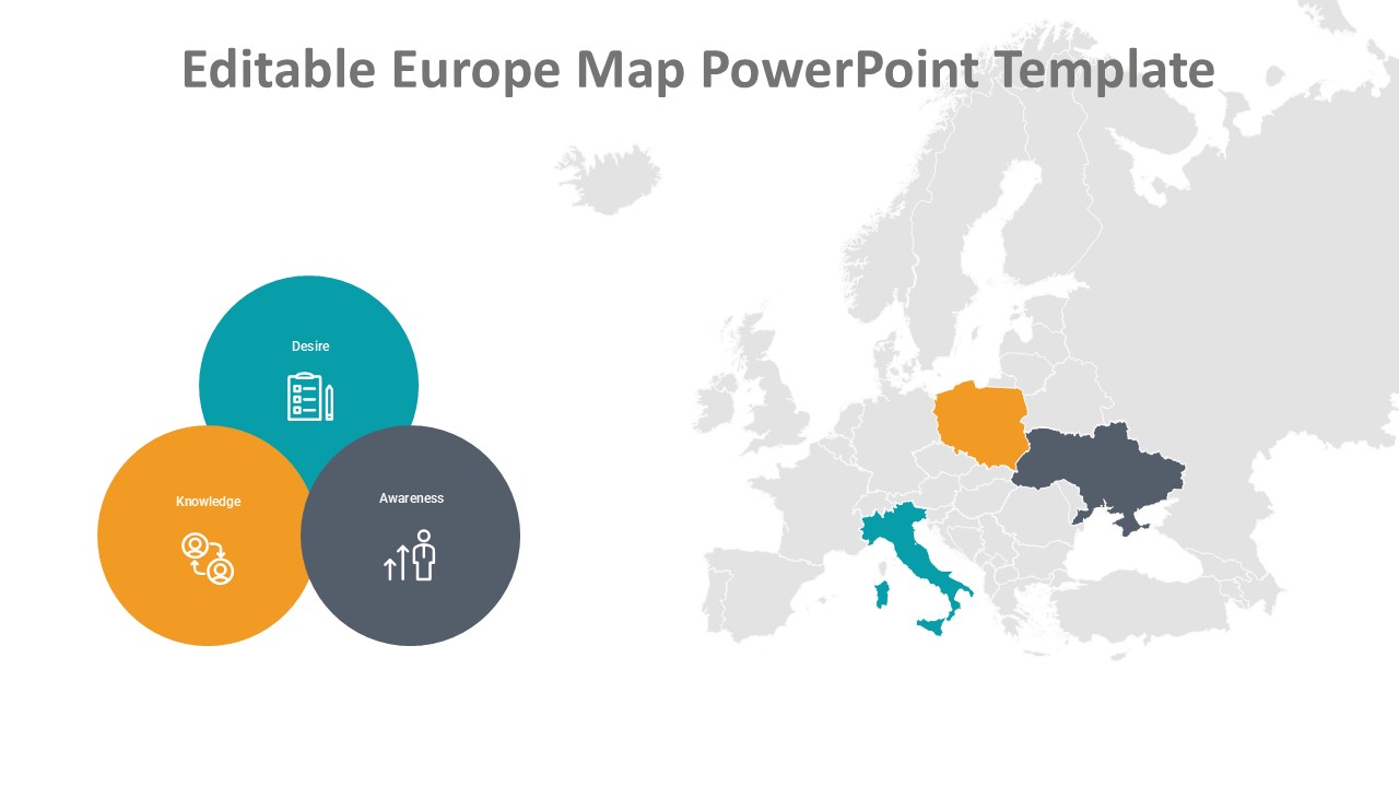
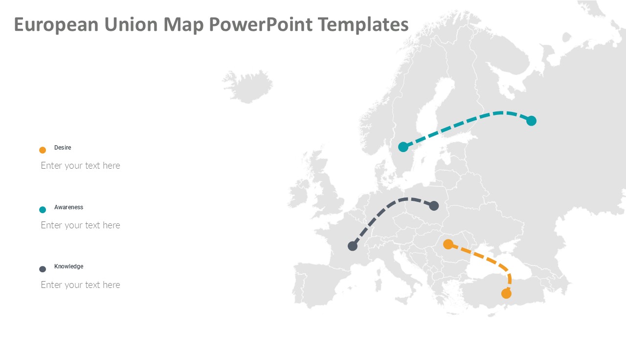
Looking to create a visually appealing presentation on European Union geography? Our European Union Map PowerPoint Templates are the perfect solution for all your mapping needs. These templates feature high-quality maps of European Union countries, including their capitals and major cities, all designed to help you showcase your data effectively.
With a clean and modern design, these templates are suitable for a wide range of uses, from educational purposes to business presentations. Whether you are discussing trade relationships within the EU, analyzing economic trends, or simply providing a geographical overview, these templates are sure to impress your audience.
One of the key features of our European Union Map PowerPoint Templates is their fully editable nature. This means that you can easily customize the maps to fit your specific requirements. Whether you need to highlight specific countries, change colors to match your branding, or add text labels, the possibilities are endless. This flexibility allows you to create a unique and professional-looking presentation in no time.
In addition, these templates are compatible with all major presentation software, including PowerPoint, Keynote, and Google Slides, making it easy for you to integrate them into your existing workflow. With high-quality graphics and easy customization options, our European Union Map PowerPoint Templates are a must-have for anyone looking to create engaging and informative presentations on European geography.


Be the first to review “European Union Map PowerPoint Templates”