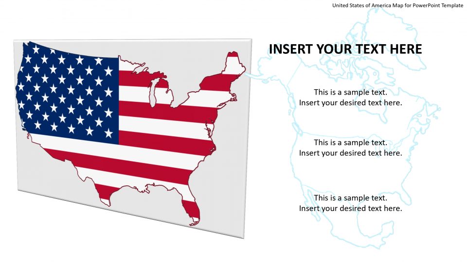
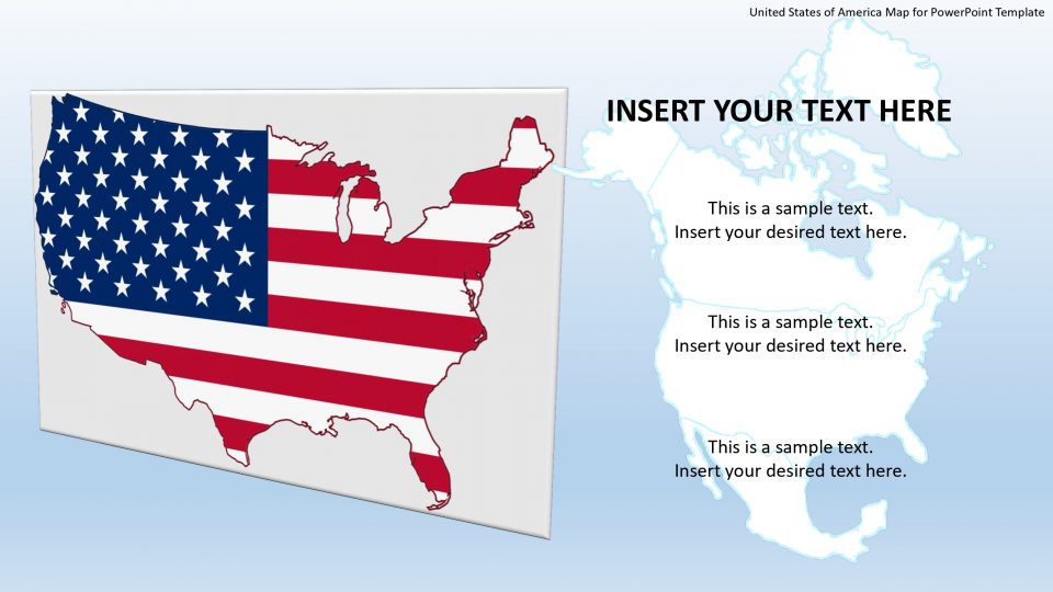
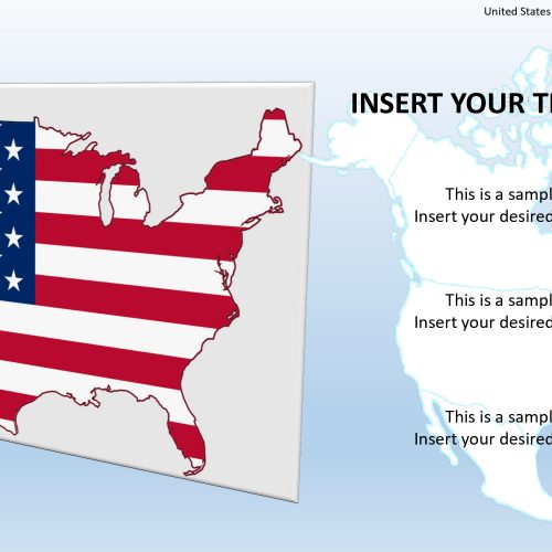
The United States of America editable maps for PowerPoint Templates is a city map presentation of the continent. This PowerPoint map contains flat design vector shapes and amazing geographical human form cartoon clip arts. Further, it has incredible silhouette images of cityscapes and historical places. Such as, white house and capitol building which is well-known as the heart of the state. These silhouette shapes of PowerPoint are available in a blue color theme. However, this is completely customizable template, allowing the users to change colors and themes in google slides.
Further, the PowerPoint map template of the United States of America is ideal for presenting the topics with specific locations through location markers. For example, using slides for political structures, tourism, market survey, demographic statistical analysis purposes, etc.
Features:
- Completely editable in terms of shape, color, size and text
- This template has a built in color theme which is unaffected by copy-pasting
- Includes an icon family with 135 unique completely editable icons
- Drag and drop image placeholder
- Completely editable (using spreadsheet) data-driven charts for displaying statistics
- Completely editable vector graphics
Supports
Microsoft PowerPoint 2010, 2011, 2013, 2016
MacOffice 2016, MacOffice 365



Be the first to review “United States of America Map for PowerPoint Template”