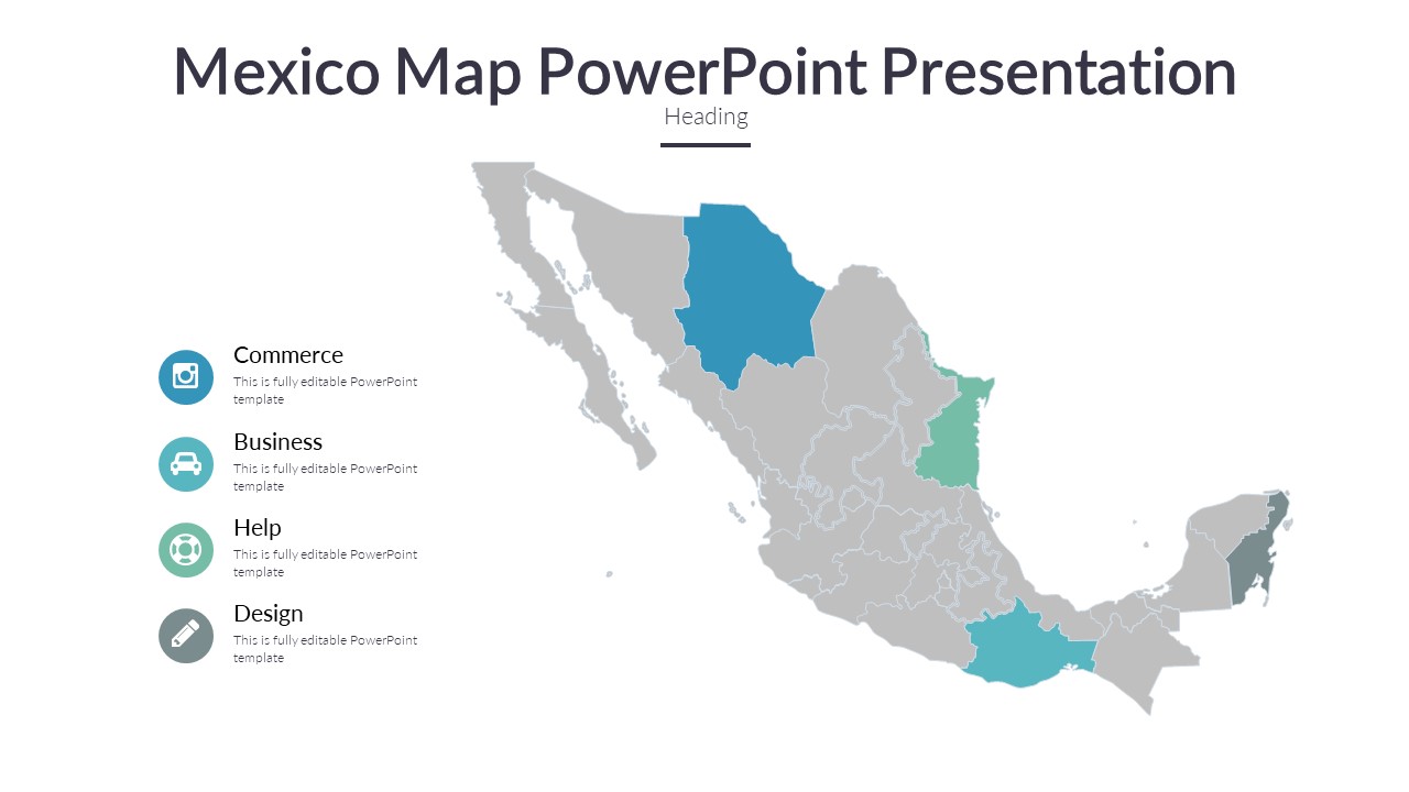
Our Mexico Map PowerPoint Presentation is the perfect tool for creating visually striking and informative presentations about Mexico. Whether you are preparing a business report, educational project, or travel presentation, this template will make your content stand out.
This presentation contains a detailed map of Mexico, divided into states for easy reference. Each state is color-coded and labeled, making it simple for your audience to understand the geographical layout of the country. In addition to the map, there are various slides included that can be used to showcase specific data, statistics, or information related to Mexico.
The template is fully editable, allowing you to customize it to suit your needs. You can easily change the colors, fonts, and sizes of the elements to match your branding or personal style. The slides are designed to be user-friendly, even for those with limited experience in creating PowerPoint presentations.
Key Features:
1. Fully editable map of Mexico with state divisions
2. Multiple slides for showcasing data and information
3. Easy-to-use template for customization
4. Professional design for a polished look
5. Compatible with PowerPoint and Google Slides
Overall, our Mexico Map PowerPoint Presentation is a comprehensive and versatile tool for anyone looking to create engaging presentations about Mexico. With its user-friendly design and fully editable features, you can easily tailor the template to meet your specific needs and captivate your audience.


Be the first to review “Mexico Map PowerPoint Presentation”