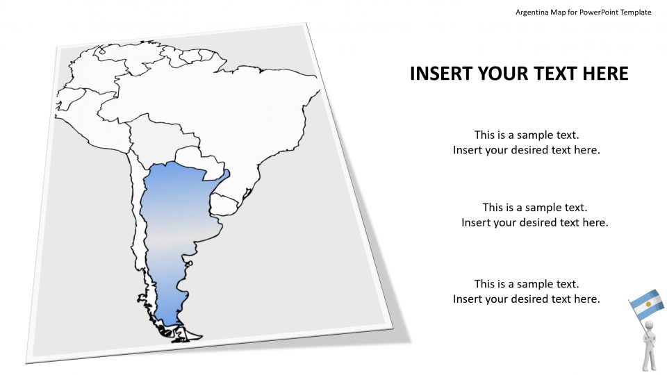
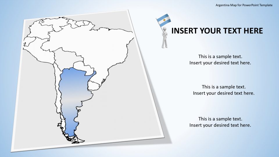
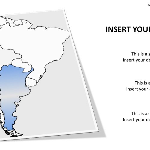
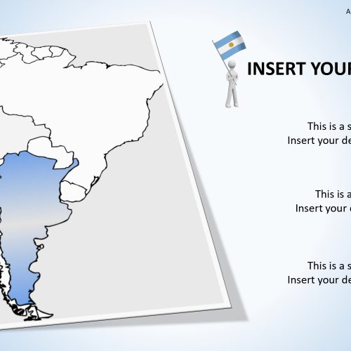
The Argentina editable map for PowerPoint consists of the sub map of the whole map of Argentina including different google slides which increases the attraction of the presentation topic. Argentina is a beautiful country that is located in the southern part of South America and is bordered by the South and West by Chile, in the North from Paraguay and Bolivia, and in the Northeast from Uruguay and Brazil. The borders of the country are shown with the political outline in blue and while theme.
This PowerPoint templates also zooms in the map according to the needs of presentation. It contains many features including the following two which are: the graphical representation with human icons interconnected with dotted lines and a colored or shaded slide with easily visible marginal sections. These are used to define the human reference. The whole picture shows the concept of globalization, communication and networking. These sub map are the elaborative parts of the whole country.
Features:
- Completely editable in terms of shape, color, size and text
- This template has a built in color theme which is unaffected by copy-pasting
- Includes an icon family with 135 unique completely editable icons
- Drag and drop image placeholder
- Completely editable (using spreadsheet) data-driven charts for displaying statistics
- Completely editable vector graphics
Supports
Microsoft PowerPoint 2010, 2011, 2013, 2016
MacOffice 2016, MacOffice 365


Be the first to review “Argentina Map for PowerPoint Template”