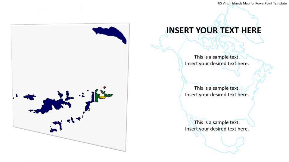
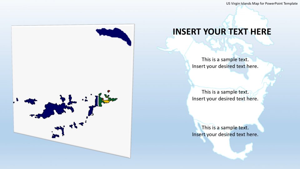
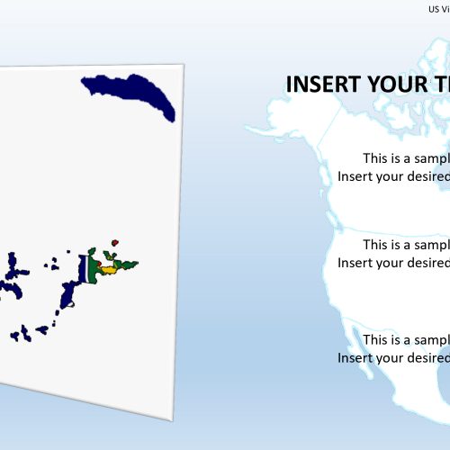
The map template of the US Virgin Islands is a very unique map presenting its real and hidden features in this PowerPoint presentation. These islands are a group of Caribbean islands and islets. A U.S. territory which is well- known for its white-sand beaches, reefs and verdant hills are very beautiful. The capital of the US Virgin Islands is Charlotte Amalie which can be highlighted using GPS markers.
The St. John island is present in the east, most of which consists of Virgin Islands National Park. The St. Croix island and its historic towns filled with great past events, Christiansted and Frederiksted, are located to the south. These historical facts about the Virgin Islands are fascinating, and planning a tour to the historical sites and ruins can make for one of the most appealing aspects of your visit to the Virgin Islands.
Features:
- Completely editable in terms of shape, color, size and text
- This template has a built in color theme which is unaffected by copy-pasting
- Includes an icon family with 135 unique completely editable icons
- Drag and drop image placeholder
- Completely editable (using spreadsheet) data-driven charts for displaying statistics
- Completely editable vector graphics
Supports
Microsoft PowerPoint 2010, 2011, 2013, 2016
MacOffice 2016, MacOffice 365



Be the first to review “US Virgin Islands Map for PowerPoint Template”