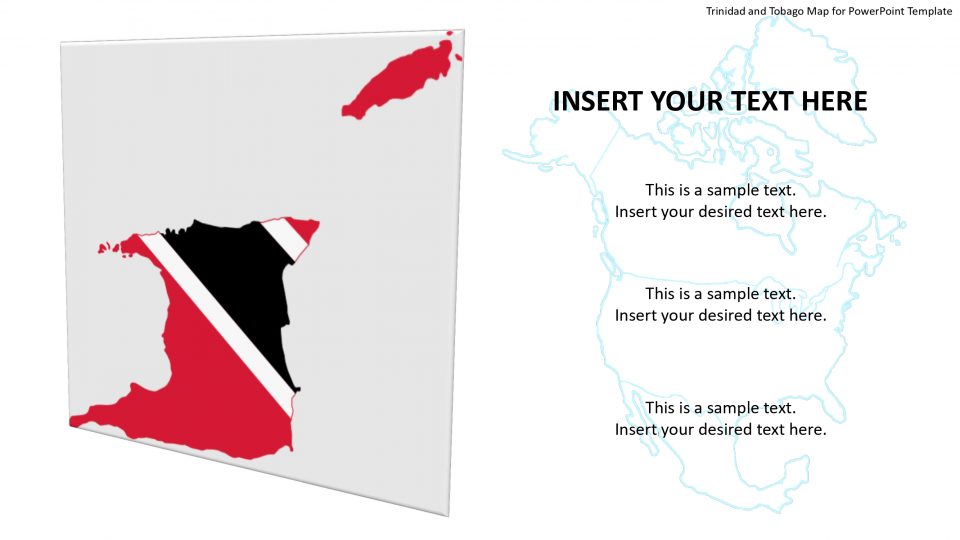
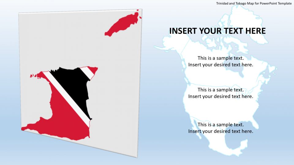
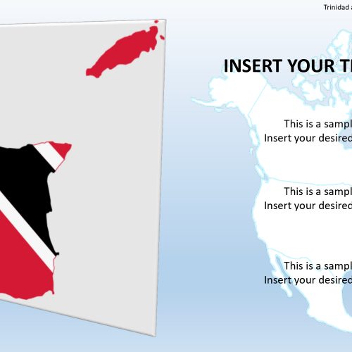
he map template of Trinidad and Tobago shows the representation of amazing islands floating in the island country of the south-east part of West Indies. It comprises of two main islands named Trinidad and Tobago along with several smaller islands. Trinidad and Tobago form the two southernmost links in the Caribbean Sea and lie close to the continent of South America, northeast portion of Venezuela and northwest portion of Guyana. The capital city of Trinidad and Tobago is Port of Spain and is located on the northwestern coast side of Trinidad.
These island map template helps to explore the beaches and tourist destination of the country in an artistic manner using editable features and location markers and clipart icons.
Features:
- Completely editable in terms of shape, color, size and text
- This template has a built in color theme which is unaffected by copy-pasting
- Includes an icon family with 135 unique completely editable icons
- Drag and drop image placeholder
- Completely editable (using spreadsheet) data-driven charts for displaying statistics
- Completely editable vector graphics
Supports
Microsoft PowerPoint 2010, 2011, 2013, 2016
MacOffice 2016, MacOffice 365



Be the first to review “Trinidad and Tobago Map for PowerPoint Template”