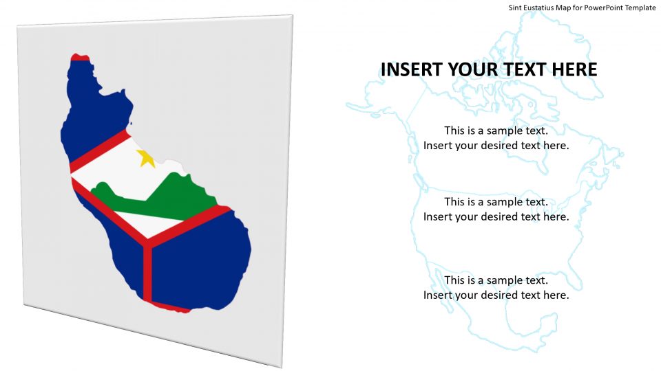
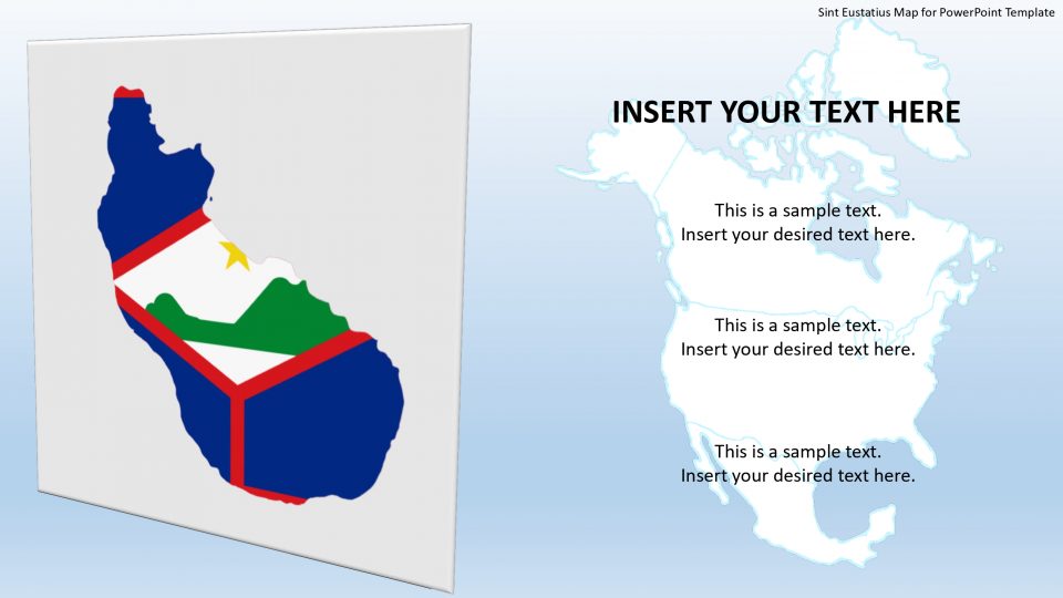
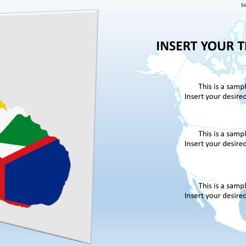
The map template of Sint-Eustatius which is also called English Saint Eustatius, and Stata, is an island and consists of special municipality within the Kingdom of the Netherlands. It is located in the Lesser Antilles and in the northeastern Caribbean Sea, to the southeast of Saba and to the northwest of the island of Saint Kitts. Its capital and largest city are Oranjestad. The island is dominated by two extinct volcanoes, with a flat middle plain separating two of them.
The outline map of this country is available with placeholders and pins which helps to mark the places and label with useful information. The users can select and copy a map or google slide to demonstrate as a part of another presentation.
Features:
- Completely editable in terms of shape, color, size and text
- This template has a built in color theme which is unaffected by copy-pasting
- Includes an icon family with 135 unique completely editable icons
- Drag and drop image placeholder
- Completely editable (using spreadsheet) data-driven charts for displaying statistics
- Completely editable vector graphics
Supports
Microsoft PowerPoint 2010, 2011, 2013, 2016
MacOffice 2016, MacOffice 365



Be the first to review “Sint Eustatius Map for PowerPoint Template”