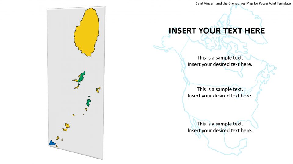
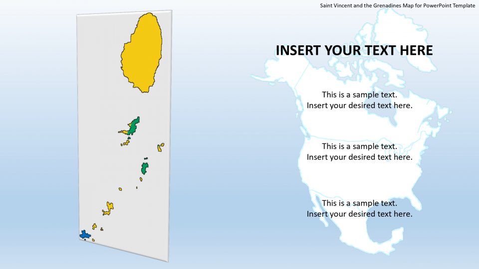
Slidevilla’s Saint Vincent and the Grenadines PowerPoint template provides the map set of presentation. This island country lies within the Lesser Antilles, in the eastern part of the Caribbean Sea. It consists of the Saint Vincent Island and the north Grenadine Islands, till the southward direction of Grenada. The island of Saint Vincent lies to the southwest of Saint Lucia and to the west of Barbados. The Grenadines Island is associated with Saint Vincent by Mayreau, Bequia, Petit Saint Vincent Island, Canouan, Mustique, Prune (Palm) Island, and Union Island.
These list of islands can be bifurcated and shown according to their locations using this map template. Also, the outline map of individual areas is having high-quality resolution shapes. Therefore, one can select and resize/enlarge these figures to describe any area separately without affecting image quality.
Features:
- Completely editable in terms of shape, color, size and text
- This template has a built in color theme which is unaffected by copy-pasting
- Includes an icon family with 135 unique completely editable icons
- Drag and drop image placeholder
- Completely editable (using spreadsheet) data-driven charts for displaying statistics
- Completely editable vector graphics
Supports
Microsoft PowerPoint 2010, 2011, 2013, 2016
MacOffice 2016, MacOffice 365


Be the first to review “Saint Vincent and the Grenadines Map for PowerPoint Template”