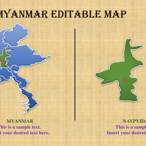
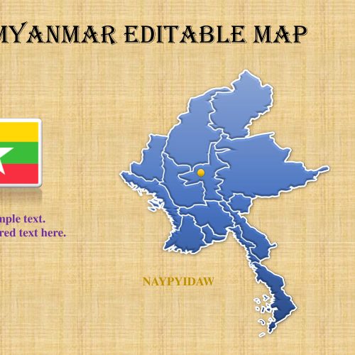
The Myanmar map template is a professional apparatus for introducing statistic information of a nation. Myanmar, officially known as Burma is an Asian sovereign state situated in South-East of the mainland. The neighboring nations incorporate India, China Bangladesh, Thailand and Laos. The Republic of the Union of Myanmar topographically has fourteen states and areas. A religiously differing nation has 135 perceived ethnic minorities. This PowerPoint is a most ideal approach to show socioeconomics of Myanmar utilizing land maps. For instance, measurements of populace, ethnicity, language, training level, wellbeing and religious gatherings.
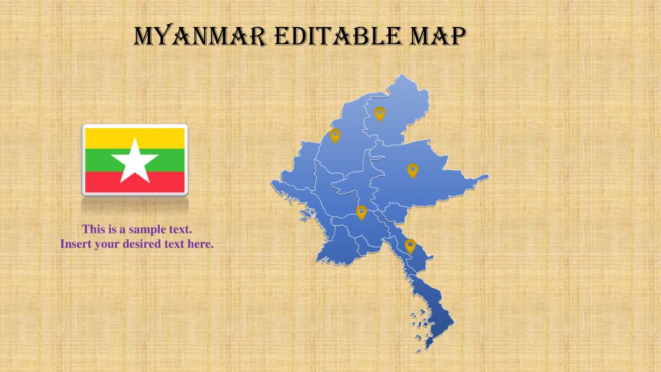
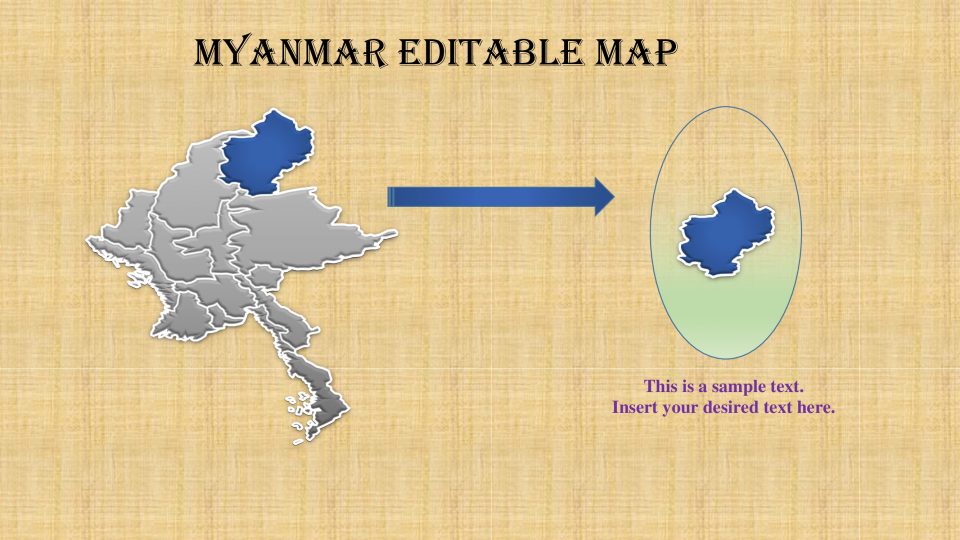
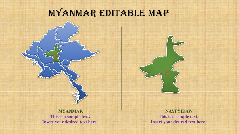
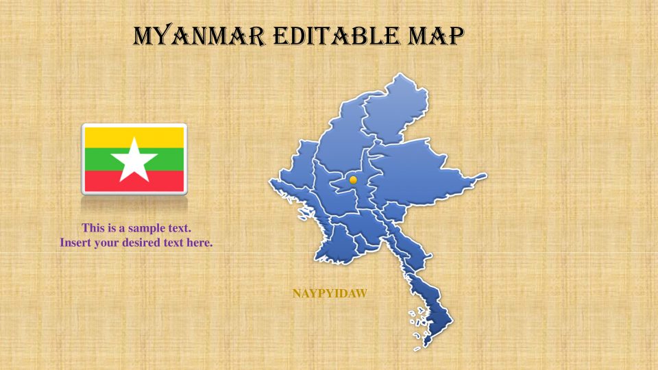
The Editable Myanmar PowerPoint Map contain eight featureful slides of nation geographic zone. These are accumulation of PowerPoint shapes join to make a particular guide layout, similar to jigsaw pieces. Accordingly, every one of the shapes are independently editable, empowering clients to change hues, size or more figures. Moreover, expanding or diminishing the size of picture does not influence the nature of high-goals shapes. The Myanmar map layout slides show various forms and plan. For example, picture with area pointers, blue and dark shading, with banner symbol and identification and so forth. The banner portrayal in Myanmar map PowerPoint additionally has various structures like round identification, post and level vector picture. To include subject subtleties and data, the format contains different content placeholder structures too.
Features:
- Completely editable in terms of shape, color, size and text
- This template has a built in color theme which is unaffected by copy-pasting
- Includes an icon family with 135 unique completely editable icons
- Drag and drop image placeholder
- Completely editable (using spreadsheet) data-driven charts for displaying statistics
- Completely editable vector graphics
Supports
Microsoft PowerPoint 2010, 2011, 2013, 2016
MacOffice 2016, MacOffice 365


Be the first to review “Myanmar Map Template for Powerpoint”