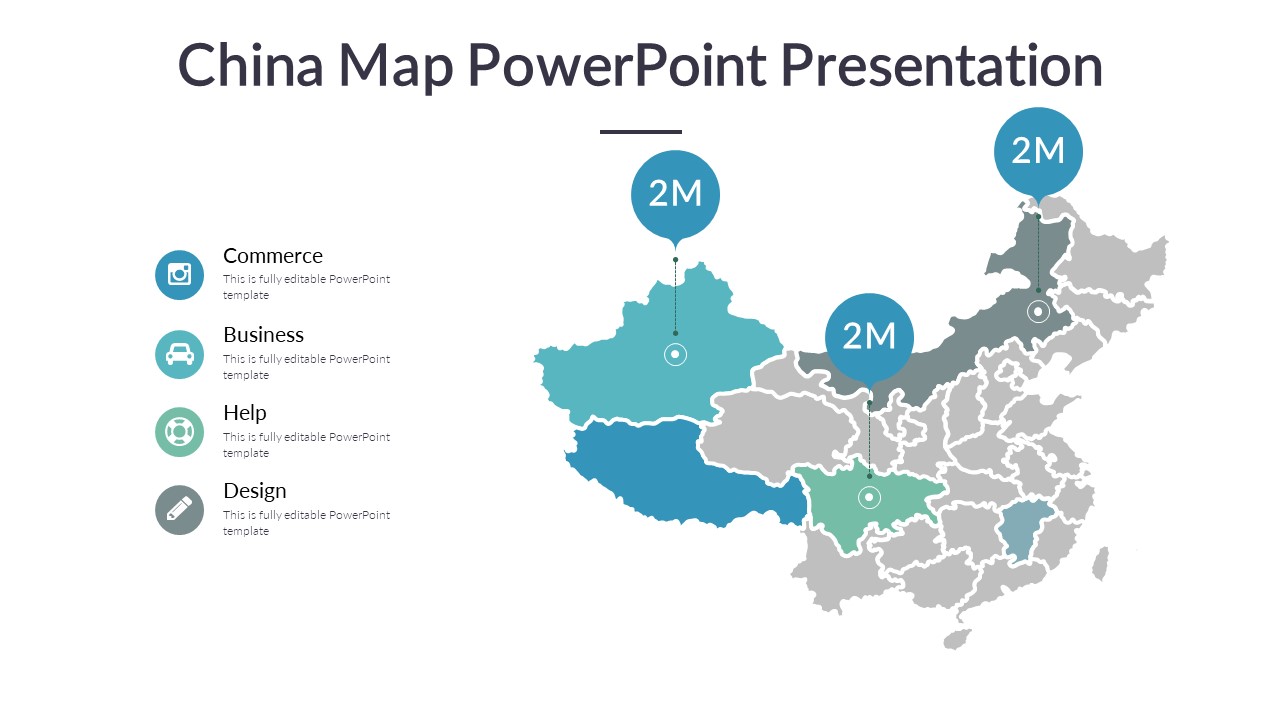
The China Map PowerPoint Presentation is a versatile and informative tool that allows users to effectively showcase geographical and statistical data related to China. This presentation template includes a detailed map of China, divided into provinces and major cities, allowing for easy customization and clarity in presentations.
With the China Map PowerPoint Presentation, users can highlight specific regions, cities, or provinces within China to provide a comprehensive overview of the country. The presentation template is designed with high-quality graphics and a professional layout, making it suitable for business meetings, academic presentations, and research projects.
Key Features of the China Map PowerPoint Presentation include:
1. Fully Editable Maps: The template includes fully editable maps of China, allowing users to customize colors, fonts, and graphics to suit their presentation needs.
2. Graphic Elements: The presentation template features a variety of graphic elements, such as icons, charts, and diagrams, to enhance the visual appeal and convey information effectively.
3. Data Visualization: Users can easily input and present statistical data related to different regions of China using the built-in charts and graphs.
4. Easy to Use: The template is user-friendly and can be easily edited and customized by users with varying levels of PowerPoint proficiency.
5. Versatile Applications: The China Map PowerPoint Presentation is suitable for a wide range of uses, including business reports, marketing presentations, educational purposes, and more.
Overall, the China Map PowerPoint Presentation is a valuable tool for anyone looking to create engaging and informative presentations about China. With its fully editable templates and versatile features, this presentation template is sure to impress and captivate audiences.


Be the first to review “China Map PowerPoint Presentation”