About this PowerPoint template
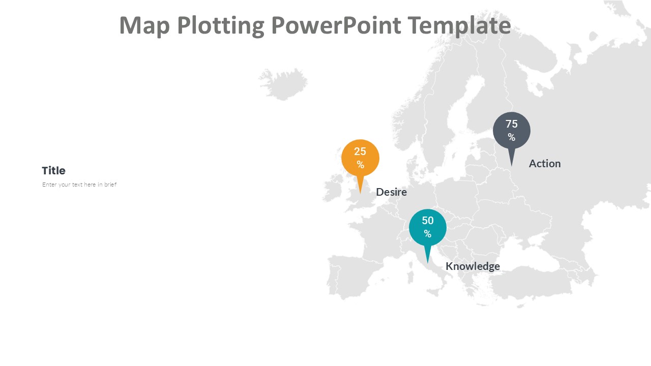
The Map Plotting PowerPoint Template is a versatile and professional tool designed to help users create visually stunning presentations with ease. This template is perfect for businesses, educators, researchers, and any other professionals who need to showcase geographical data in a clear and compelling way.
With this template, users can easily plot data points on maps, highlight specific regions, and illustrate trends and patterns through interactive maps and charts. The sleek and modern design of the template ensures that your audience stays engaged and focused on the information being presented.
The Map Plotting PowerPoint Template comes with a range of fully editable maps, including world maps, continent maps, country maps, and even city maps. Users can customize these maps to match their specific needs by changing colors, adding labels, and adjusting the size and position of map elements.
Features of the Map Plotting PowerPoint Template include:
1. Fully editable templates: Users can customize every aspect of the maps to suit their specific requirements, including colors, fonts, and styles.
2. Interactive functionality: Users can add data points, annotations, and other interactive elements to make their presentations more engaging and informative.
3. Wide variety of maps: The template includes a wide range of maps at different levels of detail, allowing users to plot data at a global, regional, or local scale.
4. Easy-to-use design: The template is designed for users of all skill levels, with intuitive controls and user-friendly features that make it easy to create professional-looking presentations.
5. Versatile applications: Whether you're presenting sales data, demographic information, or research findings, the Map Plotting PowerPoint Template is a powerful tool for visualizing and communicating geospatial data.
Overall, the Map Plotting PowerPoint Template is a must-have tool for anyone who needs to create compelling presentations with map-based data. Its fully editable templates, interactive functionality, and user-friendly design make it an essential resource for professionals in a wide range of fields.
Template details
| Template | Map Plotting PowerPoint Template |
|---|---|
| Category | Europe |
| File format | PowerPoint (.pptx) |
| Slide size | 16:9 widescreen |
| Preview images | 1 |
| Editable | Yes: text, colours, shapes, icons and charts |
| Works with | PowerPoint 2010 and later, PowerPoint for Mac, Google Slides |
| Licence | Royalty-free, yours to keep using after your plan ends (terms of use apply) |
| Price | Included in every SlideVilla plan |
| Added | 18 Sept 2024 |
| Last updated | 18 Oct 2024 |
Questions about this template
Can I edit the Map Plotting PowerPoint Template?
Yes. Every part of the Map Plotting PowerPoint Template is made with native PowerPoint shapes and text boxes, so you can change the wording, colours, fonts and sizes, move or delete elements, and swap icons without losing quality.
Does the Map Plotting PowerPoint Template work in Google Slides?
Yes. Download the .pptx file, upload it to Google Drive and open it with Google Slides. The layout, shapes and text stay editable there too.
Is the Map Plotting PowerPoint Template free?
It is a premium template, included in every SlideVilla plan together with the rest of the library. See plans and pricing.
What size and format is it?
It is a PPTX file in 16:9 widescreen format, with 1 preview image shown above.
How to use this template
- Step 1DownloadClick Download and the .pptx file saves straight to your computer.
- Step 2OpenOpen it in PowerPoint, or upload it to Google Slides from your Drive.
- Step 3Make it yoursChange text, colours, icons and charts. Every element is fully editable.
Categories
Related PowerPoint templates
More designs like this one, ready to edit.