About this PowerPoint template
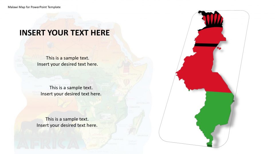
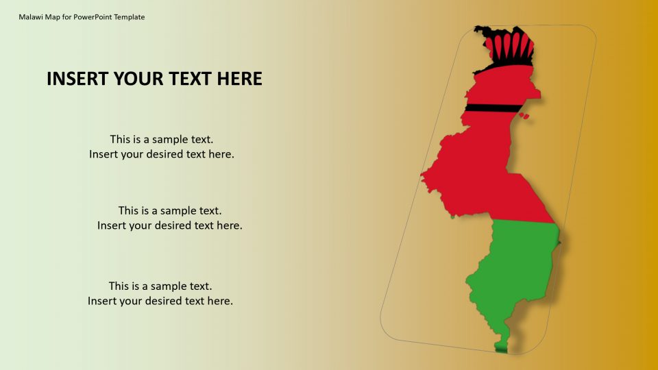
SlideVilla’s Malawi PowerPoint Map presents different slides for geographic and statistical presentations. The Malawi map for PowerPoint template presents various editable and customizable layouts in standard designs for maps. Malawi is a country based in southeast Africa, also known as the Republic of Malawi.
It is been bordered by Tanzania to the northeast, Zambia to the northwest, and Mozambique on the east, south, and west. The neighboring states outlines can be shown separately using this map.
The icons and layout designs provided in the Malawi map for PowerPoint can be used to give an artistic interpretation to your presentation and making the best impression. One can easily copy and manage the slide and its characteristic without affecting other slides based on your specific needs and purpose.
Features:
- Completely editable in terms of shape, color, size and text
- This template has a built in color theme which is unaffected by copy-pasting
- Includes an icon family with 135 unique completely editable icons
- Drag and drop image placeholder
- Completely editable (using spreadsheet) data-driven charts for displaying statistics
- Completely editable vector graphics
Supports
Microsoft PowerPoint 2010, 2011, 2013, 2016
MacOffice 2016, MacOffice 365
Template details
| Template | Malawi Map for PowerPoint Template |
|---|---|
| Categories | PowerPoint Backgrounds, Power Point Maps, Creative Layouts, 3D Shapes for PowerPoint, Africa |
| File format | PowerPoint (.pptx) |
| Slide size | 16:9 widescreen |
| Preview images | 2 |
| Editable | Yes: text, colours, shapes, icons and charts |
| Works with | PowerPoint 2010 and later, PowerPoint for Mac, Google Slides |
| Licence | Royalty-free, yours to keep using after your plan ends (terms of use apply) |
| Price | Included in every SlideVilla plan |
| Added | 3 Jun 2019 |
| Last updated | 12 Apr 2021 |
Questions about this template
Can I edit the Malawi Map for PowerPoint Template?
Yes. Every part of the Malawi Map for PowerPoint Template is made with native PowerPoint shapes and text boxes, so you can change the wording, colours, fonts and sizes, move or delete elements, and swap icons without losing quality.
Does the Malawi Map for PowerPoint Template work in Google Slides?
Yes. Download the .pptx file, upload it to Google Drive and open it with Google Slides. The layout, shapes and text stay editable there too.
Is the Malawi Map for PowerPoint Template free?
It is a premium template, included in every SlideVilla plan together with the rest of the library. See plans and pricing.
What size and format is it?
It is a PPTX file in 16:9 widescreen format, with 2 preview images shown above.
How to use this template
- Step 1DownloadClick Download and the .pptx file saves straight to your computer.
- Step 2OpenOpen it in PowerPoint, or upload it to Google Slides from your Drive.
- Step 3Make it yoursChange text, colours, icons and charts. Every element is fully editable.
Related PowerPoint templates
More designs like this one, ready to edit.