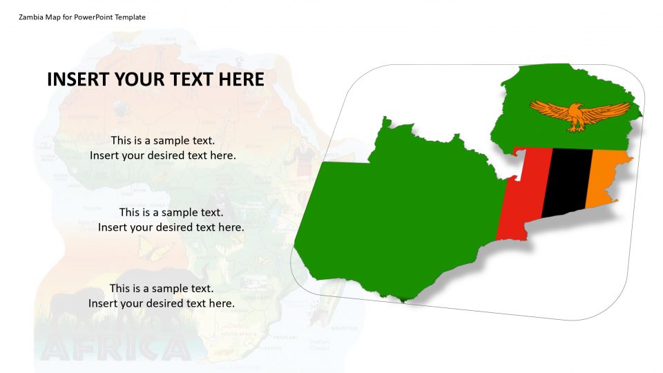
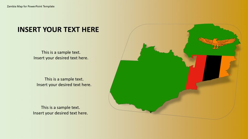
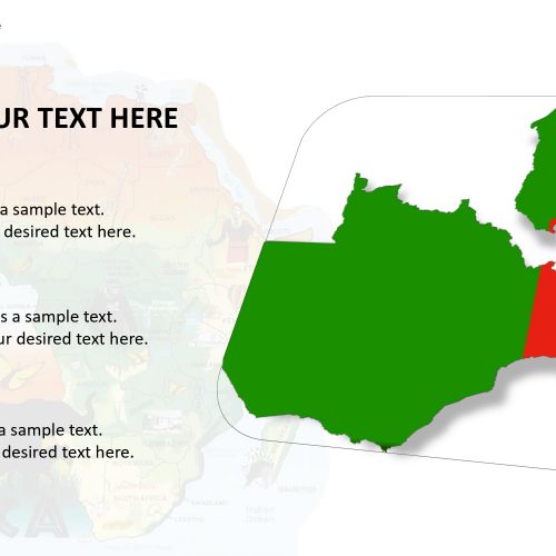
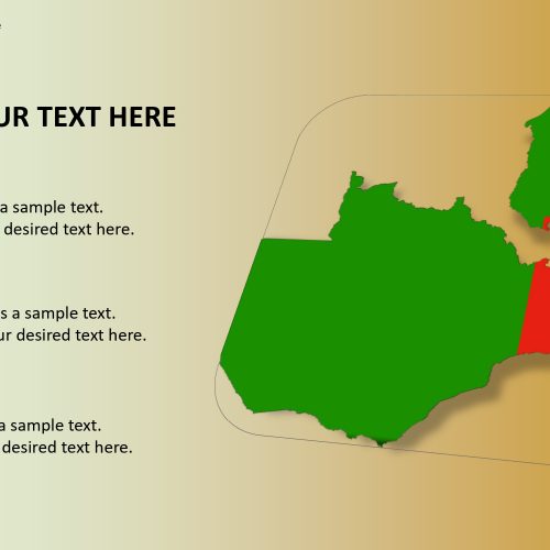
This template design is to show Zambia during a PowerPoint presentation which is a nation situated in Southern Africa. Each slide in the map includes bold graphics which can be used thoroughly to make your presentation effective.
One can edit and customize the slide’s text, color, and graphics. One can add their organization logo and add animation in this map. Zambia is partitioned in ten regions and has democratic neighbors, hence one can show the areas in detail with the use of this map. The Zambia Map for PowerPoint template is made as a conglomeration of the individual districts of Zambia. One can utilize the total guide, or rearrange the shapes and can operate different functions with the individual states. One can gain an audience with this high impact of these designs.
Features:
- Completely editable in terms of shape, color, size and text
- This template has a built in color theme which is unaffected by copy-pasting
- Includes an icon family with 135 unique completely editable icons
- Drag and drop image placeholder
- Completely editable (using spreadsheet) data-driven charts for displaying statistics
- Completely editable vector graphics
Supports
Microsoft PowerPoint 2010, 2011, 2013, 2016
MacOffice 2016, MacOffice 365


Be the first to review “Zambia Map for PowerPoint Template”