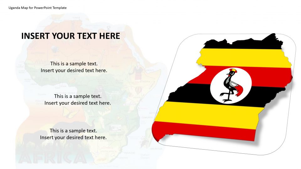
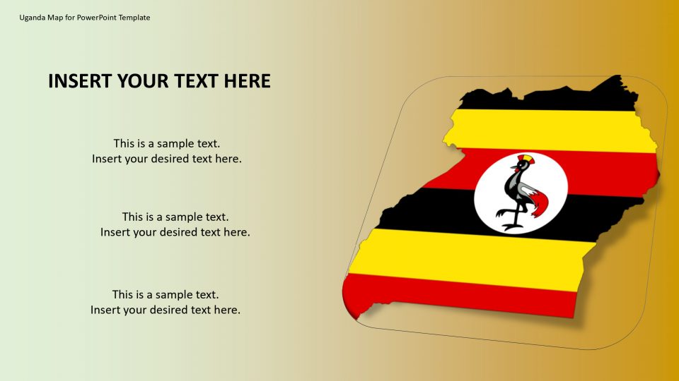
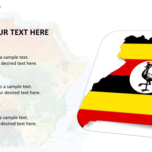
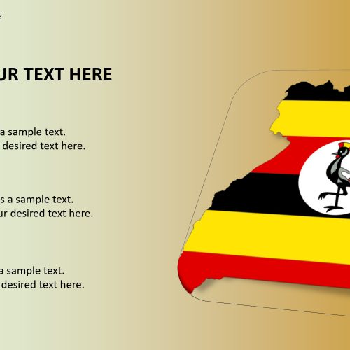
The Map of Uganda PowerPoint template shows Uganda and the outline map of surrounding countries with international borders, the national capital, regions and districts capitals basically located in East Africa. Uganda neighbors to the east by Kenya, to the north by South Sudan, to the west by the Democratic Republic of the Congo, to the south-west by Rwanda, and to the south by Tanzania. You can separate and feature specification in maps from various African nations by means of simple tactics.
The Uganda Map Template includes various formats and GPS pointers to show you how to feature different areas of Uganda with exact location; be it for an introduction displaying an advertisement, showcase section, field-tested strategy, or whether you require a guide of Uganda which are editable maps and can be customized too.
Features:
- Completely editable in terms of shape, color, size and text
- This template has a built in color theme which is unaffected by copy-pasting
- Includes an icon family with 135 unique completely editable icons
- Drag and drop image placeholder
- Completely editable (using spreadsheet) data-driven charts for displaying statistics
- Completely editable vector graphics
Supports
Microsoft PowerPoint 2010, 2011, 2013, 2016
MacOffice 2016, MacOffice 365


Be the first to review “Uganda Map for PowerPoint Template”