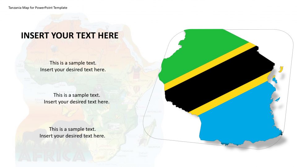
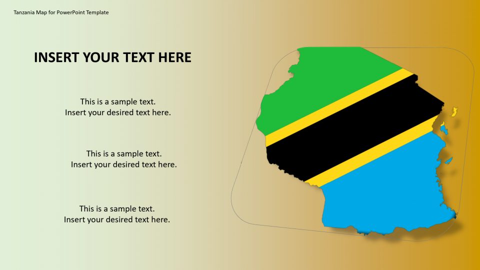
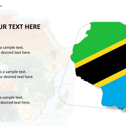
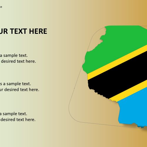
The Tanzania map for PowerPoint template gives an editable map of Tanzania with the political and outline of the united republic of Tanzania. Tanzania borders with Kenya, Zambia, Uganda, Rwanda, Malawi, Burundi, Congo, and Mozambique. It is enclosed by three lakes of Africa, i.e. Lake Tanganyika, Lake Victoria, and Lake Malawi. Tanzania is the famous spot of Africa’s most famous national parks and the tallest Mount Kilimanjaro rising above the Serengeti.
One can show separately all the famous spots and location using this editable map of Tanzania. Ona can edit the lakes, national parks, and mountains by different icons and shapes present in the maps. It also includes the national flag of Tanzania which can be used to represent the importance of the city. This template is effortless to understand and modifiable.
Features:
- Completely editable in terms of shape, color, size and text
- This template has a built in color theme which is unaffected by copy-pasting
- Includes an icon family with 135 unique completely editable icons
- Drag and drop image placeholder
- Completely editable (using spreadsheet) data-driven charts for displaying statistics
- Completely editable vector graphics
Supports
Microsoft PowerPoint 2010, 2011, 2013, 2016
MacOffice 2016, MacOffice 365


Be the first to review “Tanzania Map for PowerPoint Template”