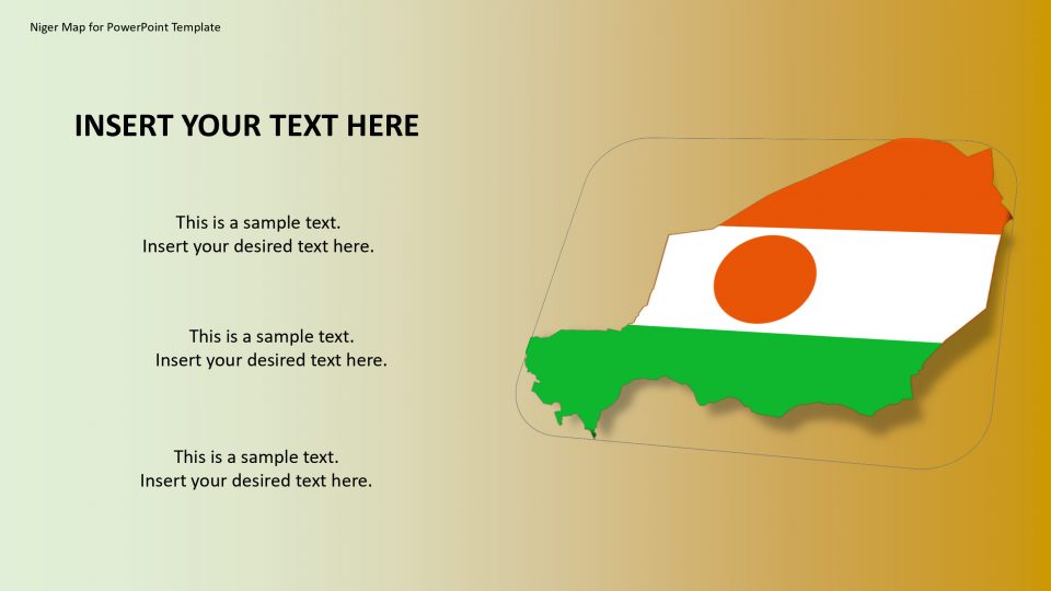
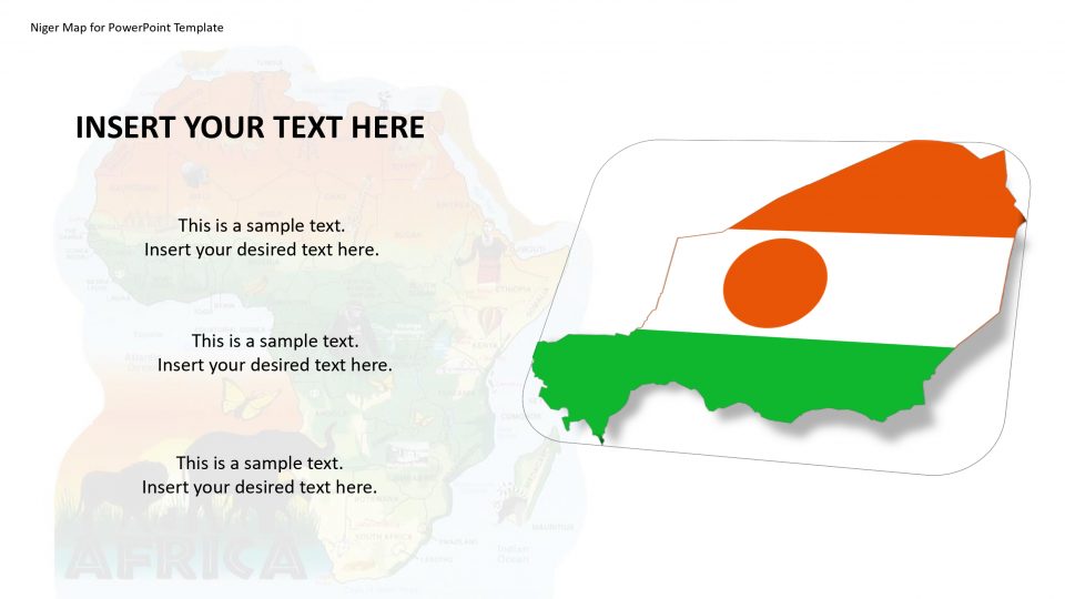
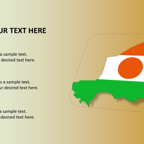
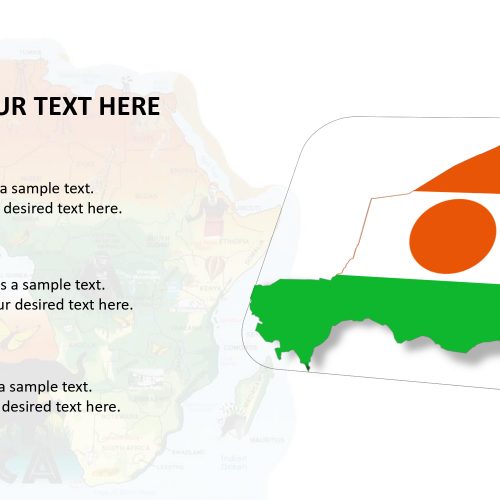
The Niger map PowerPoint template is an introduction format with bright maps of Niger which is officially the Republic of the Niger, is named after the Niger River. Niger is on the border between Sahara and Sub-Sahara region. Also, Niger borders seven countries which include Libya to the North East, Chad to the East, Nigeria and Benin to the South and South West, Senegal and Mali to the West and Algeria to the North West.
This countries and deserts can be stamped utilizing the given GPS markers inside each slide.This is a basic Niger map layout which can be utilized in introductions to feature various zones of the landmass and to make introductions where you may require showing an essential guide of Niger. Also, it is completely editable and customizable.
Features:
- Completely editable in terms of shape, color, size and text
- This template has a built in color theme which is unaffected by copy-pasting
- Includes an icon family with 135 unique completely editable icons
- Drag and drop image placeholder
- Completely editable (using spreadsheet) data-driven charts for displaying statistics
- Completely editable vector graphics
Supports
Microsoft PowerPoint 2010, 2011, 2013, 2016
MacOffice 2016, MacOffice 365


Be the first to review “Niger Map for PowerPoint Template”