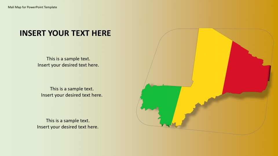
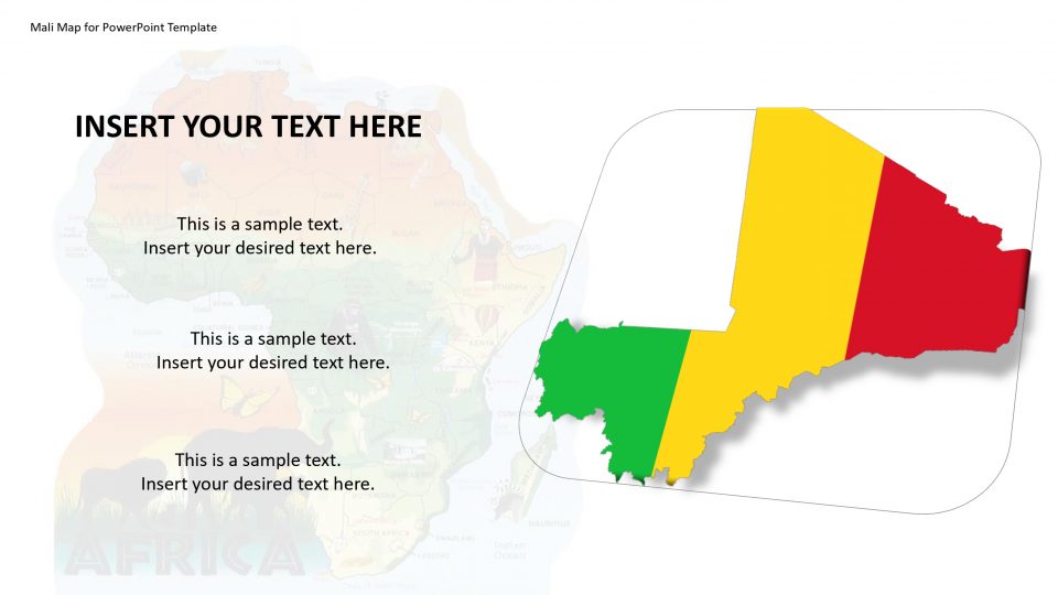
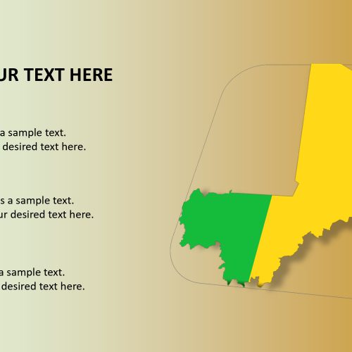
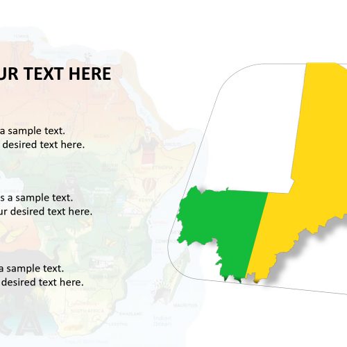
The Mali map for PowerPoint presentation is a country located in West Africa, officially named as the Republic of Mali. It is neighbored by Algeria to the northeast, Niger to the east, Senegal and Mauritania to the west, Burkina Faso and Ivory Coast to the south and Guinea to the south-west. Mali’s 65% of the area is been covered by deserts or semi-deserts. The Mali map, thus, provides the outline in blue and white color separating the independent states and provinces.
One can present the specific spots on the map by location pins and editable text boxes. It provides a total of 135 icons such as square, circular, star, and ring, etc. Use these icons and other layouts to make an impressive presentation in business, schools or colleges.
Features:
- Completely editable in terms of shape, color, size and text
- This template has a built in color theme which is unaffected by copy-pasting
- Includes an icon family with 135 unique completely editable icons
- Drag and drop image placeholder
- Completely editable (using spreadsheet) data-driven charts for displaying statistics
- Completely editable vector graphics
Supports
Microsoft PowerPoint 2010, 2011, 2013, 2016
MacOffice 2016, MacOffice 365


Be the first to review “Mali Map for PowerPoint Template”