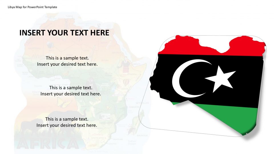
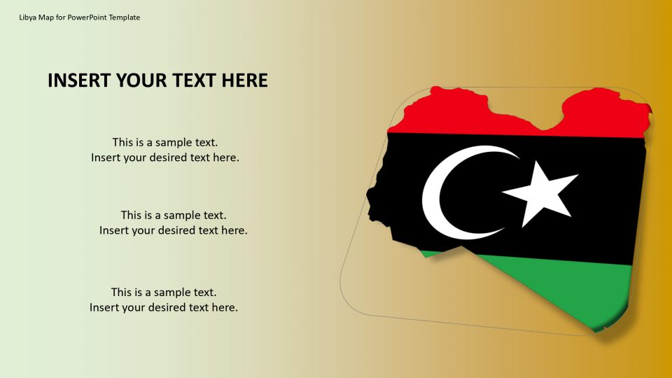
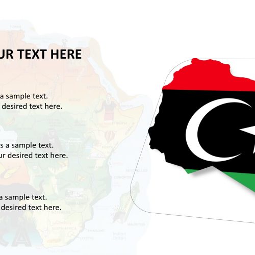
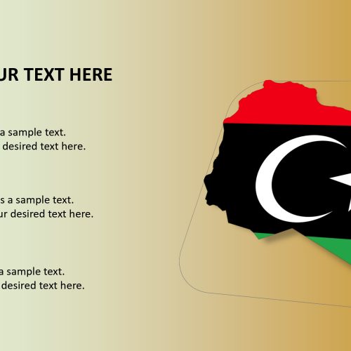
The State of Libya map for PowerPoint presentation is a country in the Maghreb region in North Africa. It has six land bordering countries which are Egypt, Algeria, Chad, Niger, Sudan, and Tunisia. The outline of the map helps to see the borders clearly and the surroundings are present in blue and white color.
The map of Libya has the Mediterranean Ocean to the north and the Sahara desert to the southwest. Libya is the fourth largest country in Africa (after Algeria, Sudan, and the Democratic Republic of the Congo). One can give the representation of the discovery more about its history, culture, people, geography, Colonel Gaddafi, economy, food and more by using the distinct features available in the Libya map for PowerPoint template.
Features:
- Completely editable in terms of shape, color, size and text
- This template has a built in color theme which is unaffected by copy-pasting
- Includes an icon family with 135 unique completely editable icons
- Drag and drop image placeholder
- Completely editable (using spreadsheet) data-driven charts for displaying statistics
- Completely editable vector graphics
Supports
Microsoft PowerPoint 2010, 2011, 2013, 2016
MacOffice 2016, MacOffice 365


Be the first to review “Libya Map for PowerPoint Template”