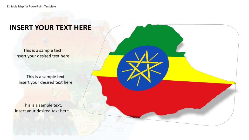
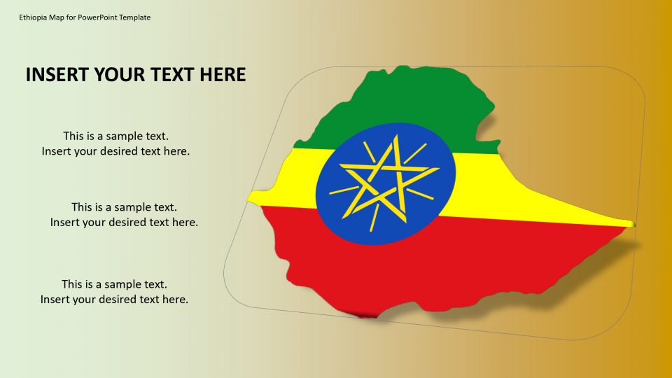
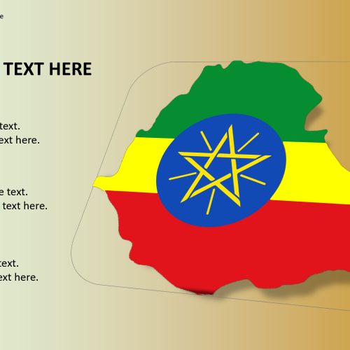
The Ethiopia map for PowerPoint template which is also named as the Federal Democratic Republic of Ethiopia is a country in the north-eastern region of Africa, popularly known as the Horn of Africa. The six land bordering countries of Ethiopia are Sudan, South Sudan, Eritrea, Djibouti, Somalia, and Kenya. The facts about Ethiopian history, culture, geography, and heritage can be easily highlighted using this PowerPoint template.
The Ethiopia Map consists of necessary slides for exploring your creative side. One can add these map slides in any casual or professional presentation to visualize geographical data. One can locate the target consumer market, manufacturers, statistical trends, business franchise, tourist destinations, etc. The map can be edited and customized based on your requirements and serving the purpose.
Features:
- Completely editable in terms of shape, color, size and text
- This template has a built in color theme which is unaffected by copy-pasting
- Includes an icon family with 135 unique completely editable icons
- Drag and drop image placeholder
- Completely editable (using spreadsheet) data-driven charts for displaying statistics
- Completely editable vector graphics
Supports
Microsoft PowerPoint 2010, 2011, 2013, 2016
MacOffice 2016, MacOffice 365



Be the first to review “Ethiopia Map for PowerPoint Template”