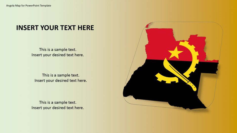
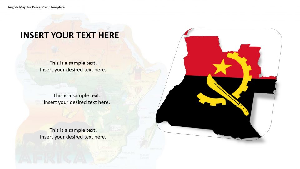
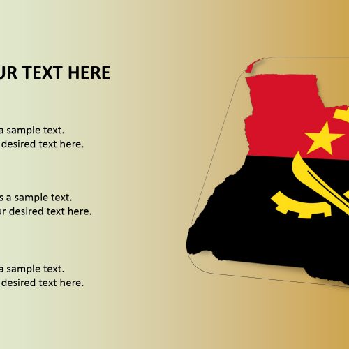
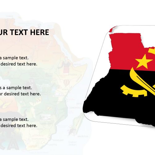
The Angola map for PowerPoint template gives us the detail information of the country that it is located in Southern Africa and is bordered by Zambia to the east, and the Atlantic Ocean to west, Namibia to the south and the Democratic Republic of the Congo to the north. This PowerPoint map template has many editable and customizable features that can be used for discussing the world’s famous global cities.
These PowerPoint templates are quintessential for marketing and business presentations. The slides support the information about the important history, the heritage of the nation, famous places, culture, social knowledge and more. The Angola PowerPoint Map template contains different slides for high-resolution graphical presentation. These slide consists of layout designs which include outline map silhouette shapes, architectural buildings, data charts, and national statistics.
Features:
- Completely editable in terms of shape, color, size and text
- This template has a built in color theme which is unaffected by copy-pasting
- Includes an icon family with 135 unique completely editable icons
- Drag and drop image placeholder
- Completely editable (using spreadsheet) data-driven charts for displaying statistics
- Completely editable vector graphics
Supports
Microsoft PowerPoint 2010, 2011, 2013, 2016
MacOffice 2016, MacOffice 365


Be the first to review “Angola Map for PowerPoint Template”