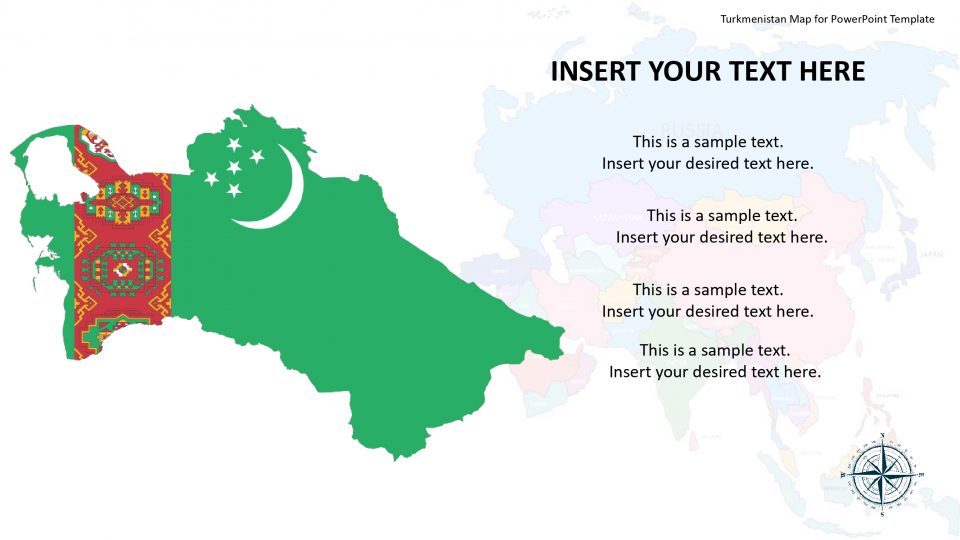
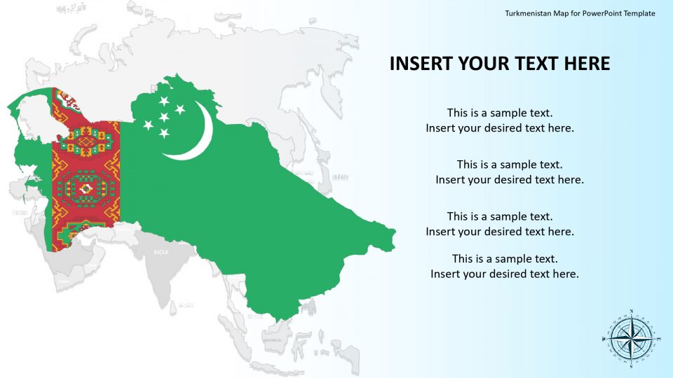
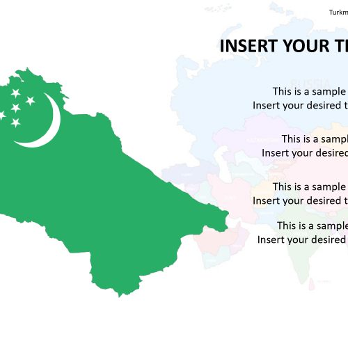
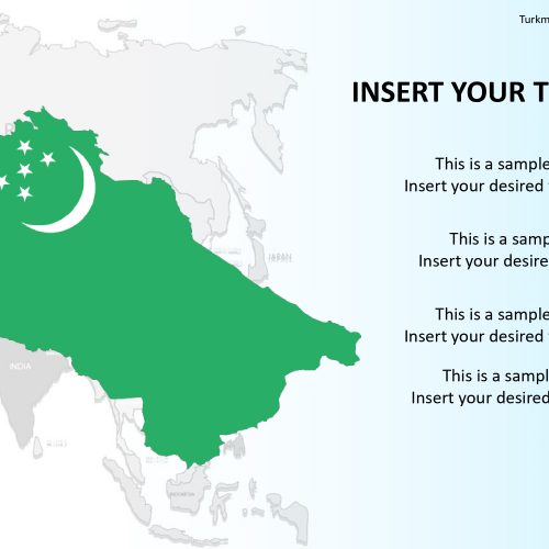
The editable map presentation PowerPoint of Turkmenistan is a complete map set consisting the high-quality map vectors. It is neighbored by Uzbekistan to the north and east, Kazakhstan to the northwest, Afghanistan to the southeast, the Caspian Sea to the west and Iran to the south and southwest.
The editable Map of Turkmenistan puts up the country’s administrative districts and significant cities. It includes fully editable vectors and customizations can be done to the available features. Hence, the users can optimize the map for PowerPoint, including all of the corresponding differentiation. Also, separate map slides highlighting Ashgabat, the capital and largest city of Turkmenistan, and other major cities can be identified using flag icons.
Also, the users can explore and modify the slides while not affecting its quality graphics. Turkmenistan has 3 UNESCO world heritage sites. These attractions can be easily reflected using this editable map.
Features:
- Completely editable in terms of shape, color, size and text
- This template has a built in color theme which is unaffected by copy-pasting
- Includes an icon family with 135 unique completely editable icons
- Drag and drop image placeholder
- Completely editable (using spreadsheet) data-driven charts for displaying statistics
- Completely editable vector graphics
Supports
Microsoft PowerPoint 2010, 2011, 2013, 2016
MacOffice 2016, MacOffice 365


Be the first to review “Turkmenistan Map for PowerPoint Template”