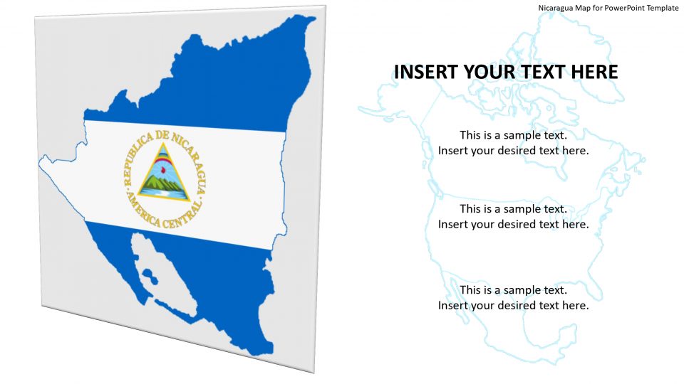
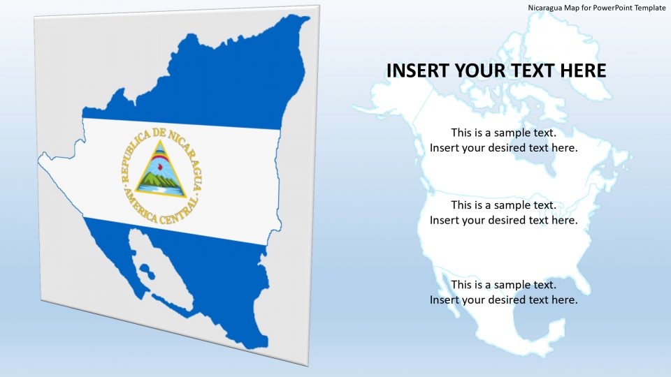
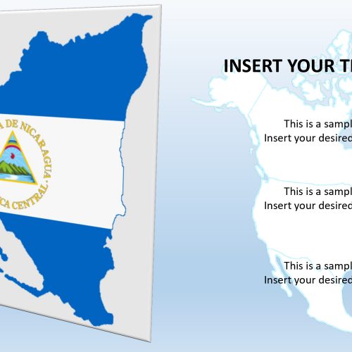
Slidevilla’s Nicaragua map for PowerPoint presentation, which is officially called the Republic of Nicaragua, is the largest country in Central America. It is surrounded by two lands named Honduras and Costa Rica. Nicaragua shares a maritime border with Colombia and El Salvador. Nicaragua consists of three definite geographical regions that are the North-Central Highlands, the Pacific Lowlands, and the Atlantic Lowlands.
This map template enables users to enormously edit and customize maps according to presentation requirement. One can apply different shapes, size, and colors apart from the standard blue and gray theme. The colors can help highlight multiple areas based on political situations, tourist areas, statistical surveys, target markets, etc. Also, the feature of pointing out the important content is also available through location markers.
Features:
- Completely editable in terms of shape, color, size and text
- This template has a built in color theme which is unaffected by copy-pasting
- Includes an icon family with 135 unique completely editable icons
- Drag and drop image placeholder
- Completely editable (using spreadsheet) data-driven charts for displaying statistics
- Completely editable vector graphics
Supports
Microsoft PowerPoint 2010, 2011, 2013, 2016
MacOffice 2016, MacOffice 365



Be the first to review “Nicaragua Map for PowerPoint Template”