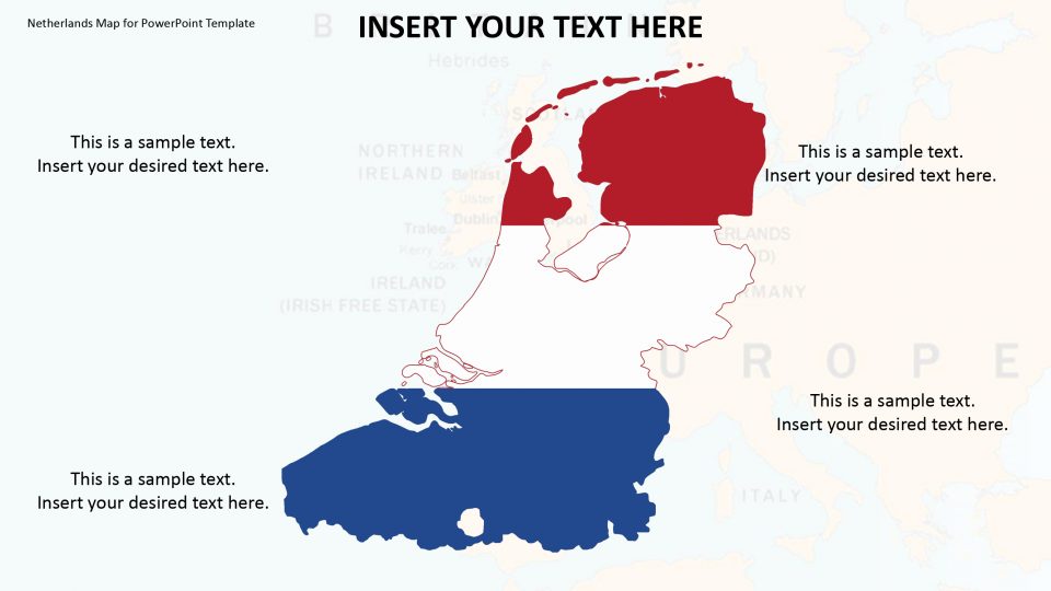
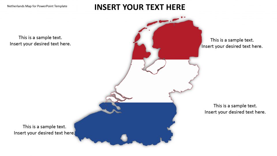
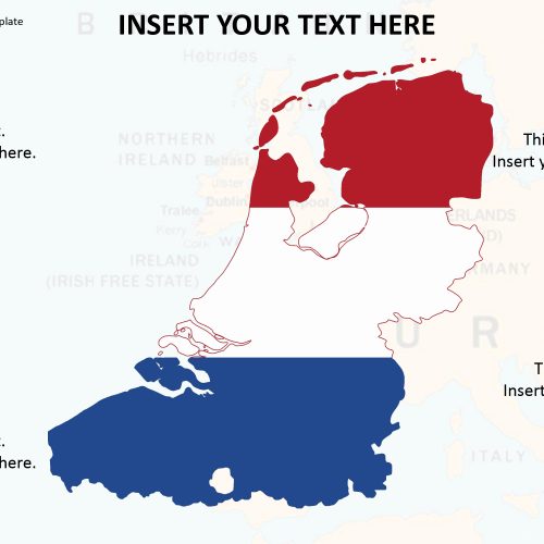
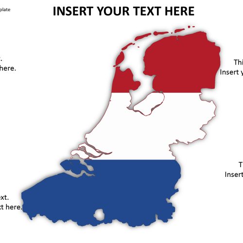
Slidevilla’s Netherlands map for PowerPoint presentation can explain the factors of the country such as population, history, culture, ethnicity and similar statistics for global analysis purposes. The Netherlands is often mentioned as Holland which is a country located in North-Western Europe. The country’s capital and largest city are Amsterdam can be highlighted using location markers to identify the factors. It is surrounded by countries that are France, Germany, the United Kingdom, and Belgium. The Netherlands is a constituent country of the Kingdom of the Netherlands that consists of Aruba, Sint Maarten, and Curacao.
This PowerPoint map provides with high-resolution images that can fit almost every screen. This is to prepare the slides for commercial and non-commercial presentations or corporate reports. It is also suitable for geographic learning presentations such as history and archeology lectures.
Features:
- Completely editable in terms of shape, color, size and text
- This template has a built in color theme which is unaffected by copy-pasting
- Includes an icon family with 135 unique completely editable icons
- Drag and drop image placeholder
- Completely editable (using spreadsheet) data-driven charts for displaying statistics
- Completely editable vector graphics
Supports
Microsoft PowerPoint 2010, 2011, 2013, 2016
MacOffice 2016, MacOffice 365


Be the first to review “Netherlands Map for PowerPoint Template”