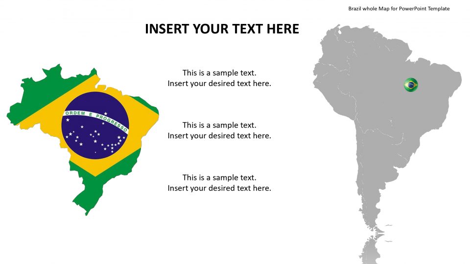
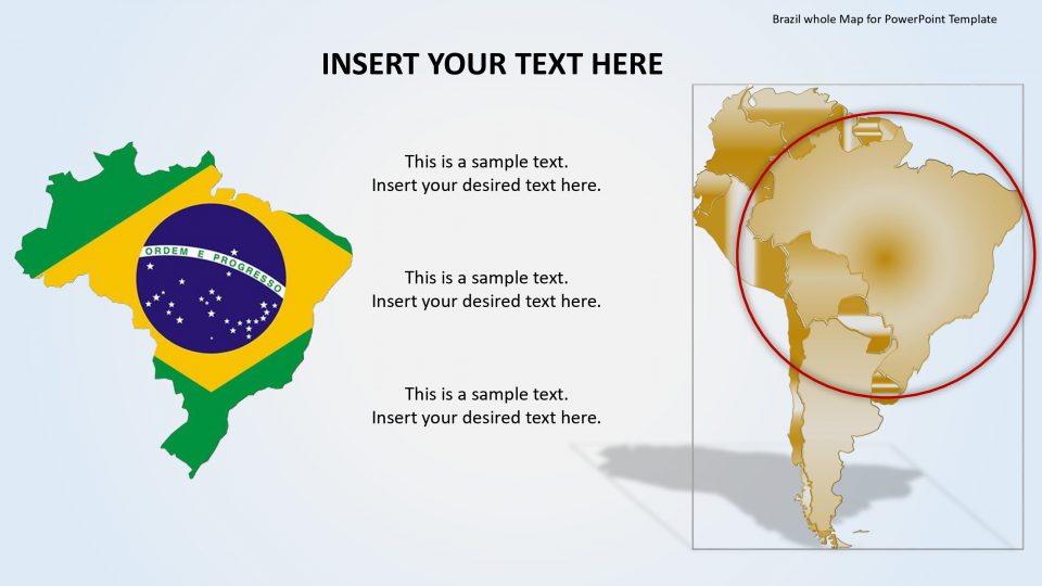
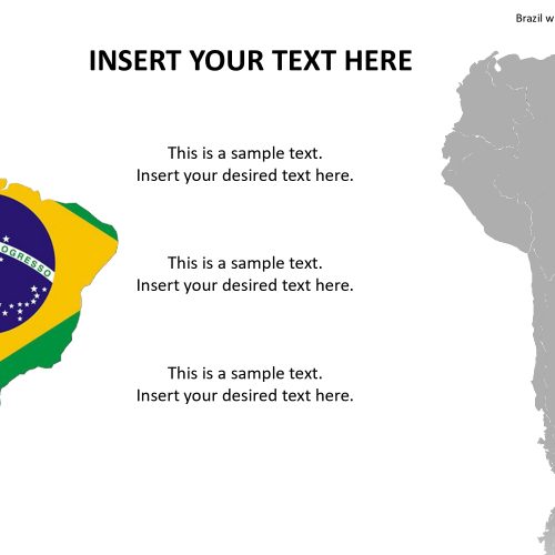
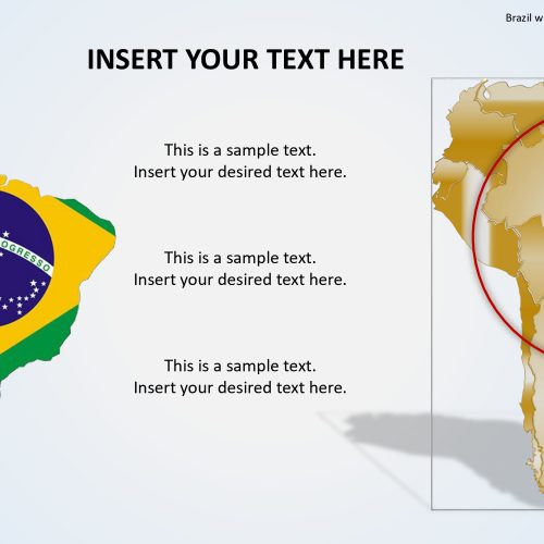
Slidevilla’s map template of Brazil which is officially known as the Federative Republic of Brazil is the largest country situated in South America and Latin America. It is surrounded by ten countries named Bolivia, Uruguay, Suriname, Argentina, Venezuela, Paraguay, Peru, Colombia, Guyana, and French Guiana.
There are several google slides containing an editable PowerPoint map of Brazil that consists of location markers, flags, and text placeholders. All the PowerPoint features including clipart icons and units of counties are easily customizable. These include the outline maps in blue and white color. In order to change the color of the state, one can simply select the figure and choose the desired color and then fill from the format menu. Similarly, for individual elements, one can select a county and apply necessary changes to make it attractive.
Features:
- Completely editable in terms of shape, color, size and text
- This template has a built in color theme which is unaffected by copy-pasting
- Includes an icon family with 135 unique completely editable icons
- Drag and drop image placeholder
- Completely editable (using spreadsheet) data-driven charts for displaying statistics
- Completely editable vector graphics
Supports
Microsoft PowerPoint 2010, 2011, 2013, 2016
MacOffice 2016, MacOffice 365


Be the first to review “Brazil whole Map for PowerPoint Template”