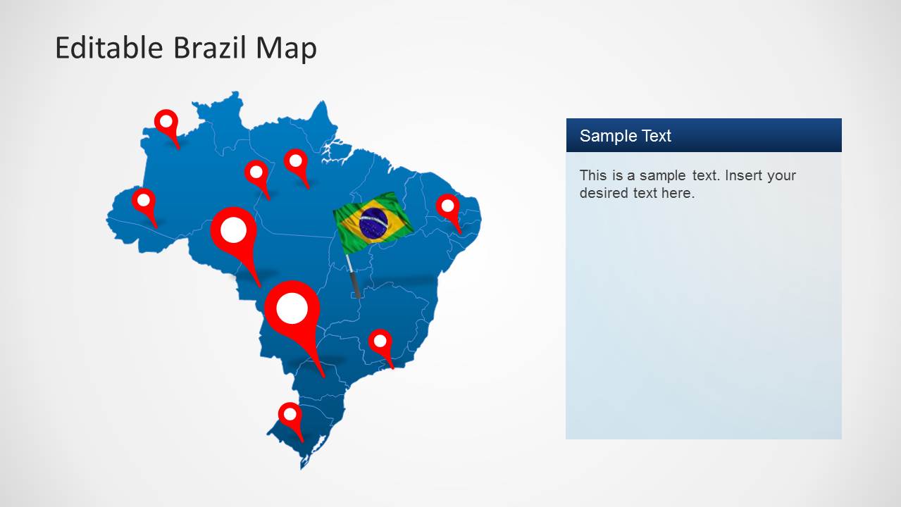
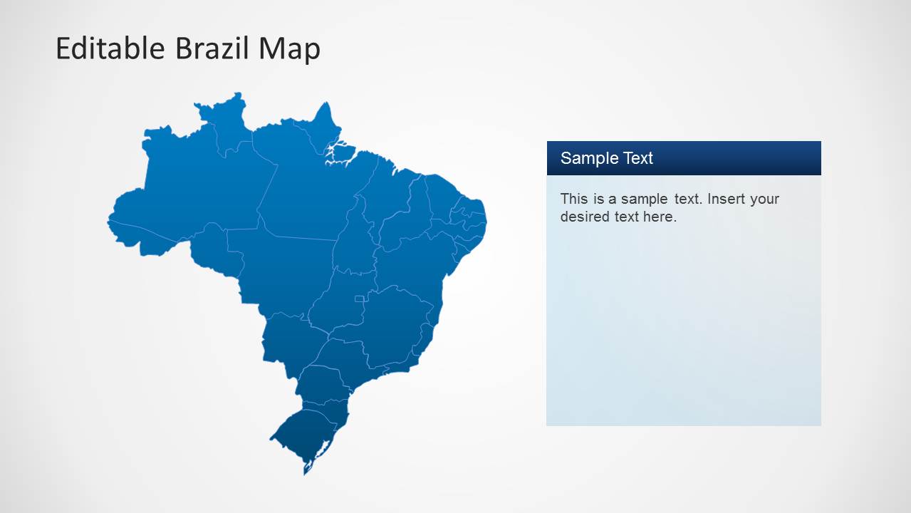
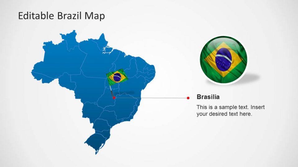
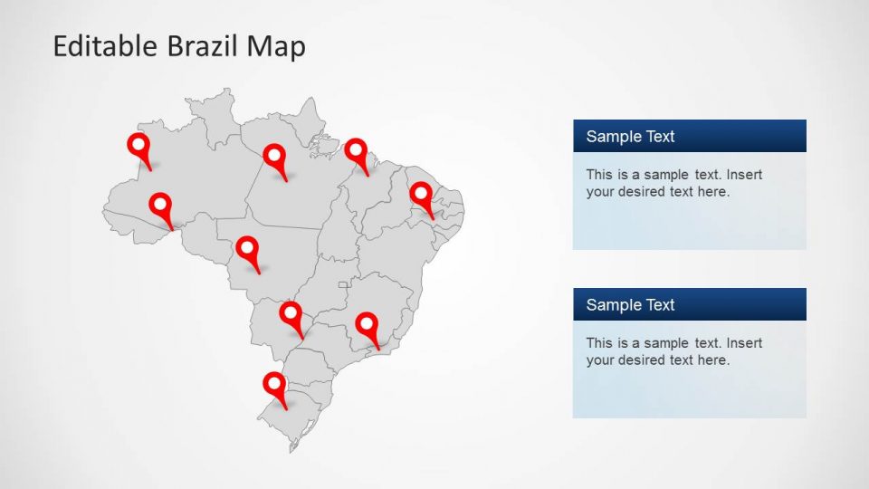
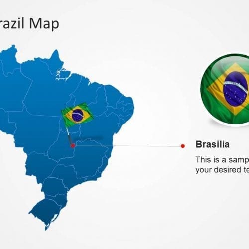
The Editable Brazil Map Template for PowerPoint is a PowerPoint presentation template showing the geographical areas with the political and outline boundaries of different Brazilian states which can also be edited using PowerPoint shapes. This template includes 6 slides of blue and white outlined maps with multiple layout designs. It also includes data-driven charts through which one can display the statistics accurately.
The map contains different PowerPoint shapes to emphasize the regions using the location marker and flags. One can easily present the importance of the region by just placing those markers, pins or flags on that place. There are 135 unique icons included in the map which can be edited too. One can customize the map by changing map colors and size within a second. It includes the image drag and drop option.
Features:
- Completely editable in terms of shape, color, size and text
- This template has a built in color theme which is unaffected by copy-pasting
- Includes an icon family with 135 unique completely editable icons
- Drag and drop image placeholder
- Completely editable (using spreadsheet) data-driven charts for displaying statistics
- Completely editable vector graphics
Supports
Microsoft PowerPoint 2010, 2011, 2013, 2016
MacOffice 2016, MacOffice 365, Googls slides




Be the first to review “Editable Brazil Map Template for PowerPoint”