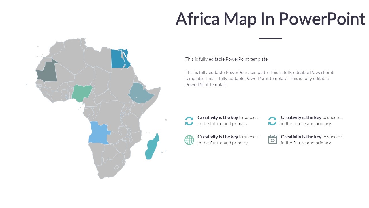
The Africa Map in PowerPoint is a versatile and informative tool that is perfect for educational, business, and personal use. This fully editable map allows you to customize the colors, text, and shapes to create a unique and engaging visual representation of the African continent.
With this PowerPoint map, you can easily highlight specific countries, regions, or landmarks to focus on key information during presentations or reports. The map is designed with clear boundaries and labels to ensure that your audience can easily understand and follow along with your content.
One of the key features of the Africa Map in PowerPoint is its fully editable templates. This means that you can easily add or remove elements, change colors, and adjust sizes to suit your specific needs. Whether you are creating a sales report, educational presentation, or travel itinerary, this map provides you with the flexibility to customize it to your liking.
In addition to its customization options, the Africa Map in PowerPoint is also compatible with other Microsoft Office programs, making it easy to integrate into your existing documents and presentations. You can copy and paste the map into Word documents, Excel spreadsheets, or Outlook emails to enhance your communication and make your content more visually appealing.
Overall, the Africa Map in PowerPoint is a valuable tool that can help you effectively communicate information about the African continent in a clear and engaging way. Its fully editable templates and compatibility with other Microsoft Office programs make it a versatile and user-friendly option for anyone looking to create impactful presentations and reports.


Be the first to review “Africa Map In PowerPoint”